










By Becky Maxedon
So, everyone has heard the saying “if these walls could talk.” But attributing animate qualities to inanimate objects could also include pieces of furniture, and more.
Take for instance, say a table.
Excerpt from “The Table” (a poem by Becky Maxedon)
A million times we sat around this table
The Saturday morning coffee was the best, you know
The games of skill and chance we had to play left grooves
And stories it has to tell
Friends and family gathered ‘round to wine and dine
The niches in the finish tell tales of midnight conversations …
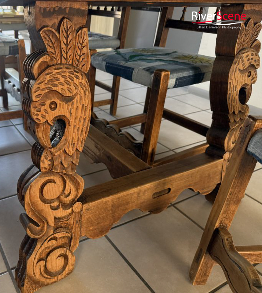
In this instance, it is the table in the home of the Coombs family in the early days of Lake Havasu City.
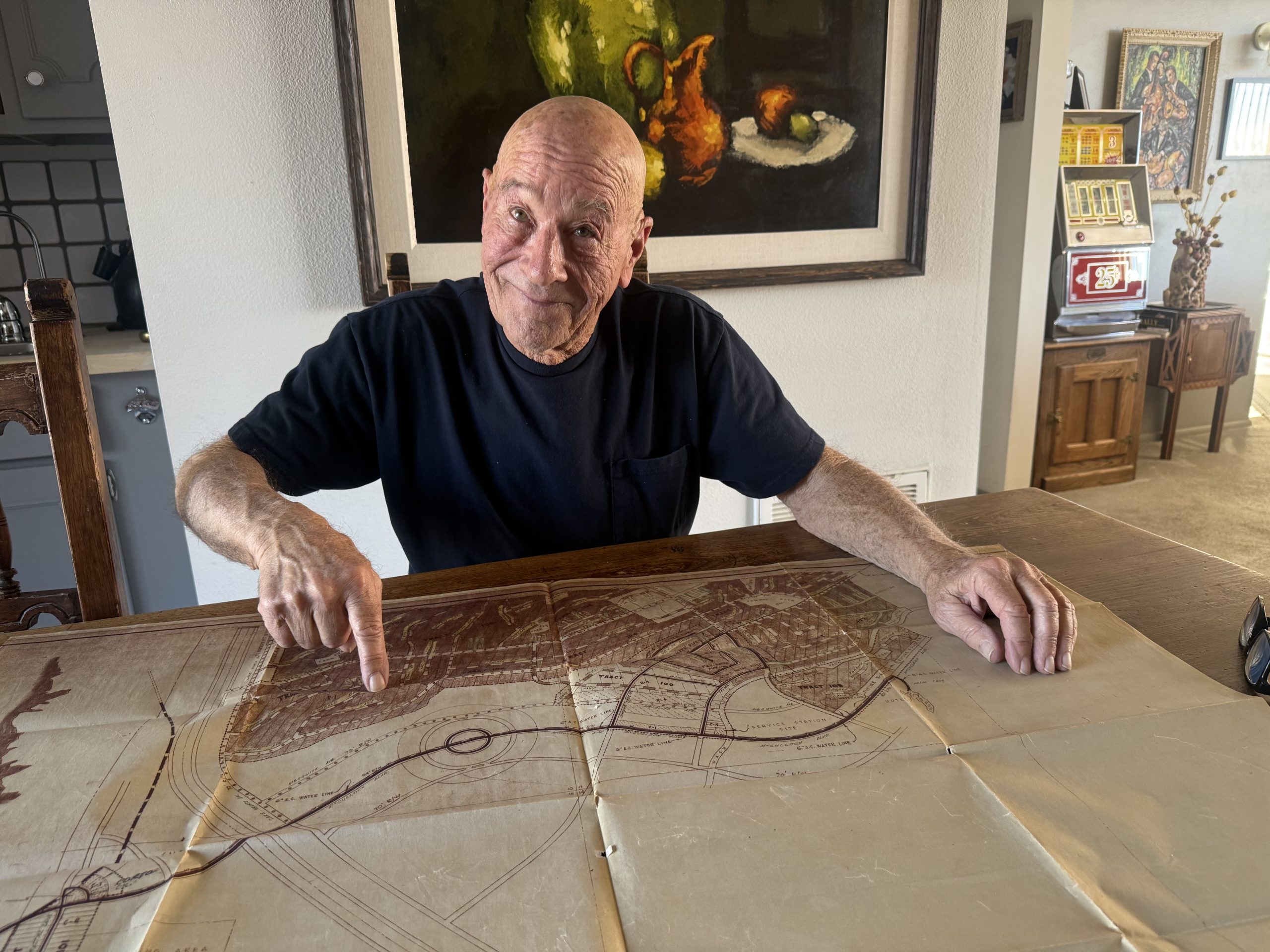
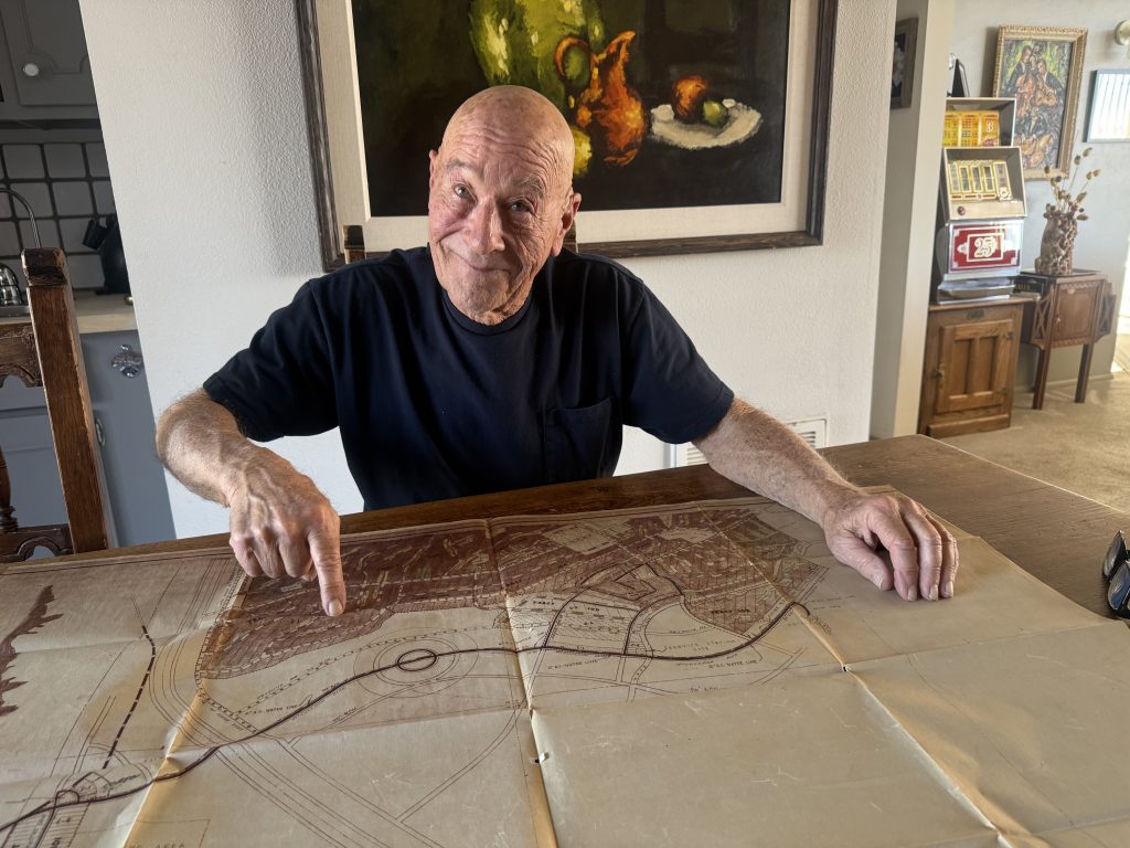
That table now sits in the home of Jay Coombs. His father – Joe Coombs Jr. – was the president of Tri-County Engineering Corp. Tri-County was responsible for the lion’s share of planning and building Lake Havasu City.
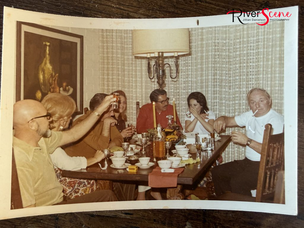
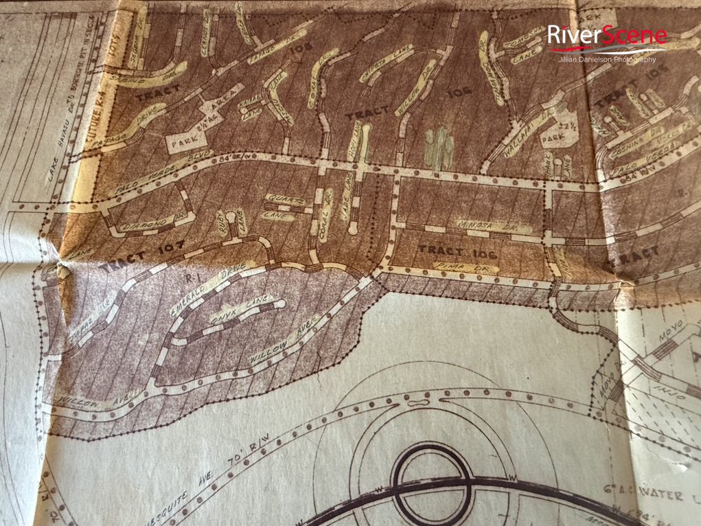
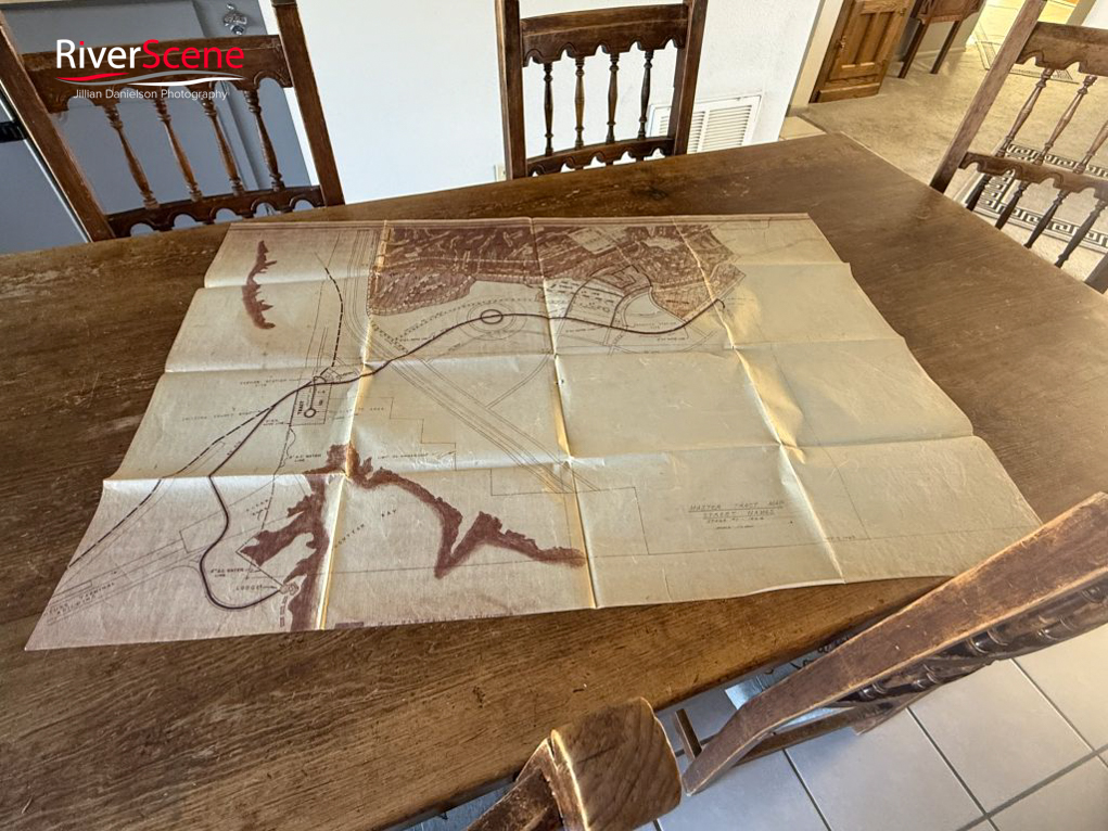
One of the continuing conversations and planning sessions that happened around that table was deciding what to name the streets in the burgeoning community.
Street names were required at a fast pace in order to continue with city planning and development. “Tri-County enlisted my mom to assist.”
Upon first glance, the street map of Lake Havasu City looks much like a plate of spaghetti thrown against the wall, but that’s not what actually went into planning.
One rumor circulating around Lake Havasu about that plate of spaghetti intimated that C.V. Wood and Robert McCulloch Sr., were out to dinner one evening and dropped a bowl of spaghetti on the floor, looked at it, and said, “That is how we’re going to design Havasu.”
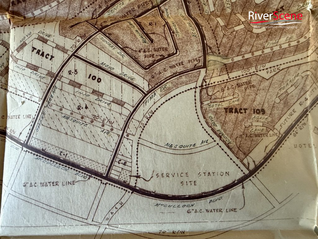
But the practical explanation for the city’s layout has to do with water movement. Flood control and cost were the design factors which included wash crossing and how the water is carried down the streets to keep homes high and dry.
How the water flows down the street during a storm is called a W section. Where the low water flows. A big flood, the road could flood curb to curb. But with a W section, gives street more capacity for flood waters.
The water will flow down these washes no matter what and so instead, Marco and Tri-Co designed the streets to accommodate that.
Jay Coombs recently sat down with RiverScene Magazine and talked about the street naming process and his family.
“I was in high school in Kingman at the time and a whole lot got by me, but my mom had some street-naming parties at the house,” Coombs said.
“Tri-County named most of the streets as part of the city’s’ design process.
He said Tri-County drew a lot of the names from lists compiled by his mother and her friends. “They had books of names and went through them and submitted the lists to Tri-Co,” he said.
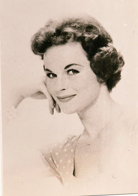
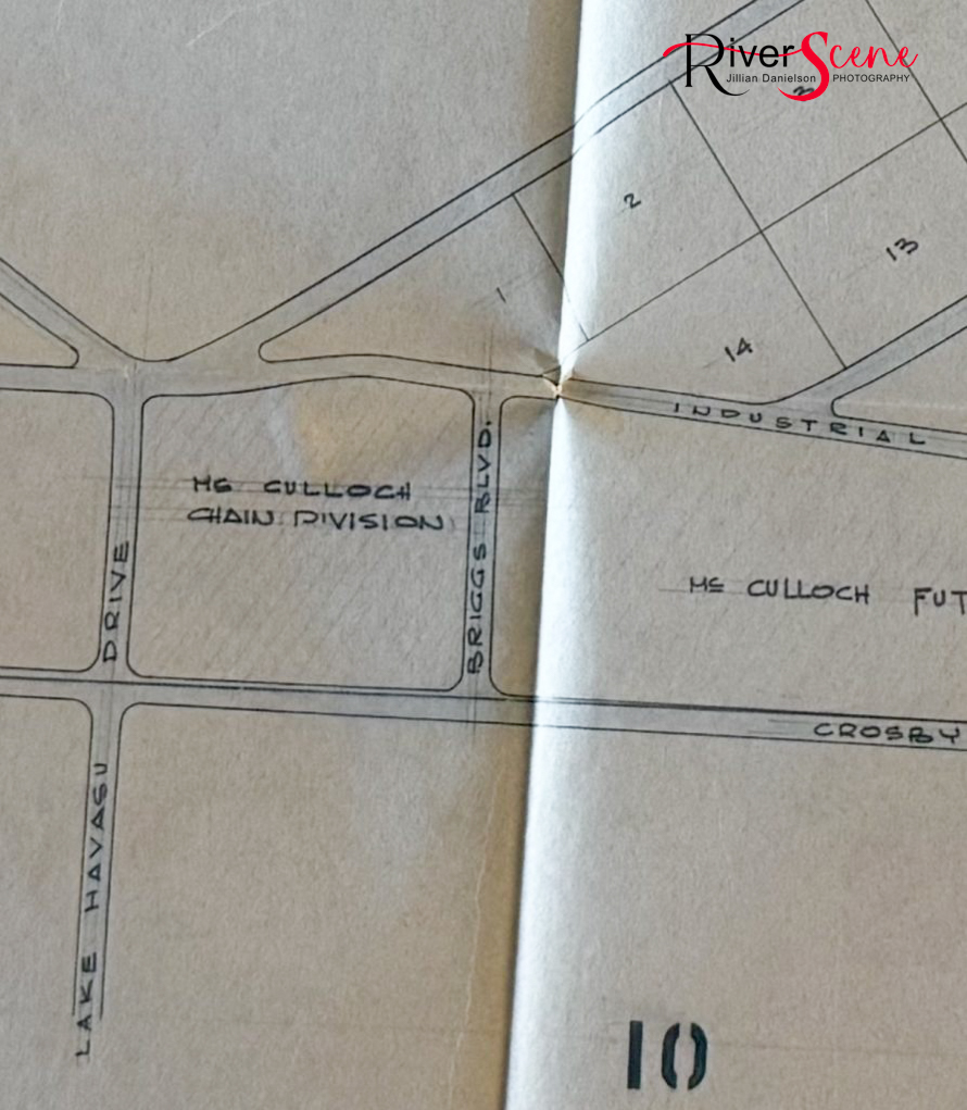
C.V. Wood Jr., whose company Marco Engineering Group prepared the initial master plan for Lake Havasu City, actually included McCulloch Boulevard in the early planning. Also Lake Havasu Avenue was Lake Havasu Drive, Mesquite and South Palo Verde were part of the first of 10 tracts developed.
On Dec. 7, 1963, the first Constellation flight of McCulloch Airlines landed and the first prospective land buyers arrived.
Coombs said Tri-Co was phased into the project. “Tri-Co was asked initially to do a feasibility study in ‘62. Then Wood said Marco would do all the engineering if Tri-Co would do the surveying. By February’64, Tri-Co was given the whole job including design, engineering, and infrastructure construction management” he said.
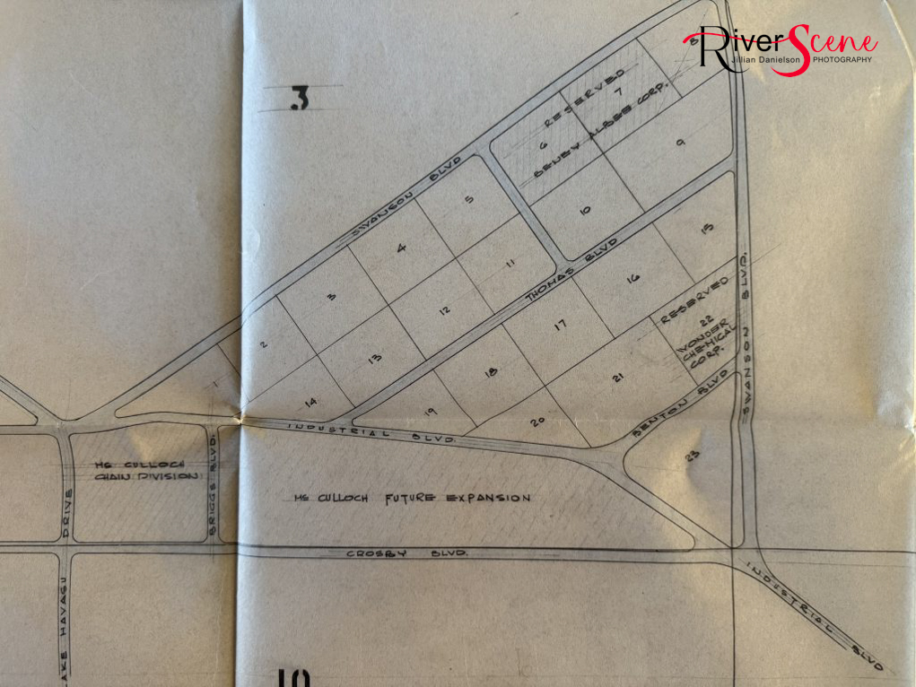
“I don’t know it to be a fact, but it’s a theory of mine that CV Wood’s background with Disneyland and bringing in corporate sponsors, that some of Havasu’s streets are named that way,” Coomb said.
For instance, Swanson could be named for Swanson Foods.
“Swanson Foods may have serviced the Nautical Inn and Havasu Hotel in the early days with everything from food to paper goods and more.
“It just makes sense to me.”
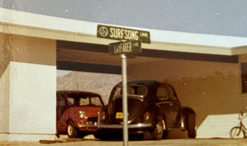
Coombs said that in addition to his mom working on the street-naming project, other local businesses and groups undoubtedly contributed including the McCulloch plant, the Holly Sales Group and others.
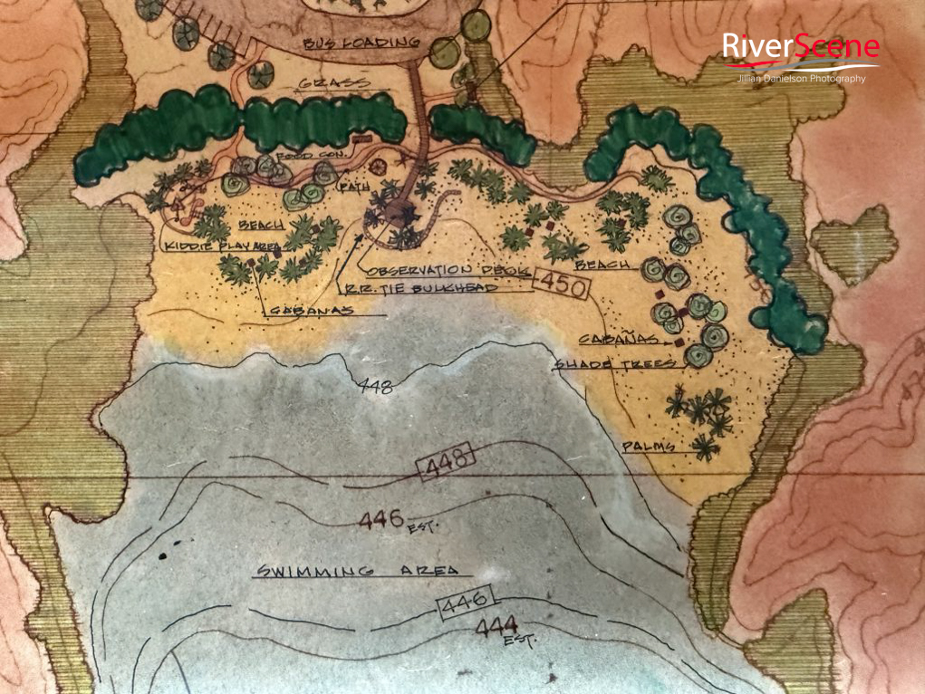
Coombs said fortunately for posterity, his father saved all the Marco drawings and more.
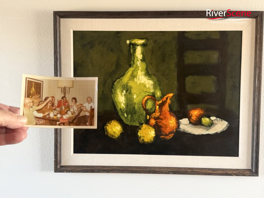
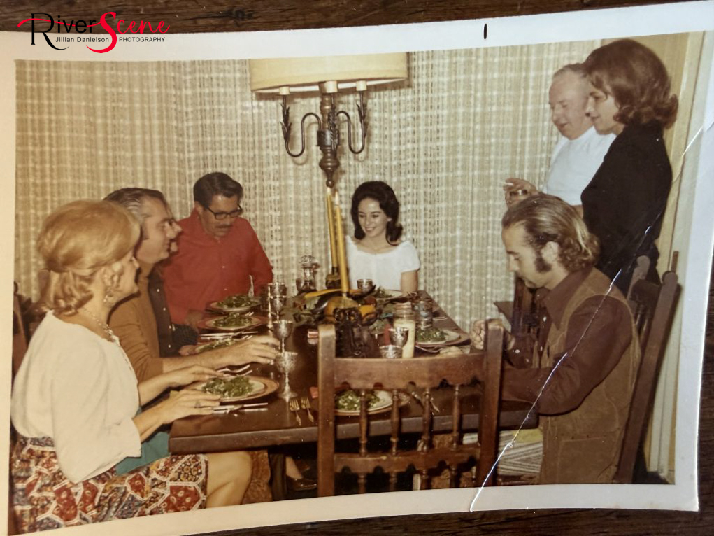
Many social events also happened around this table. Notable guests included Robert (Bob) McCulloch Jr. and his family, C.V. Wood Jr., and some of Havasu’s earliest prominent residents.
*

Leave a Comment
Keep it helpful, local, and respectful.