Story


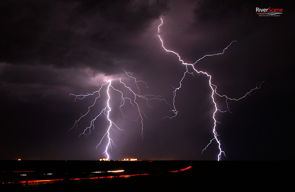
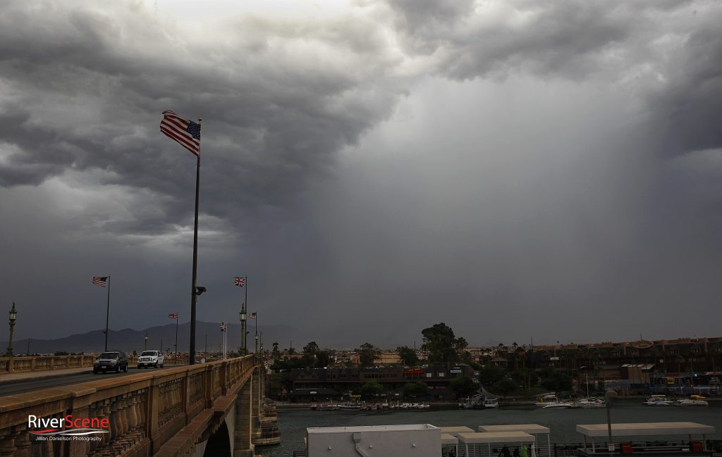
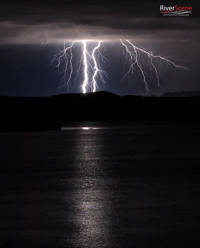
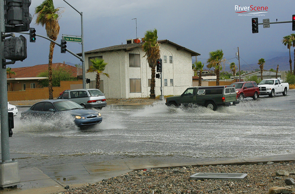
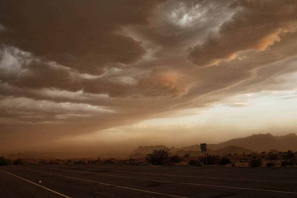
Today is the beginning of monsoon in Arizona. For all of those who have spent time in the area, the monsoon can produce some spectacular storms with a lot of rain, wind and flash-flooding. Being forewarned is always a good policy.

According to the National Weather Service, monsoon runs in Arizona from June 15 to Sept. 30. However, in northern Arizona, monsoonal moisture typically does not reach the region until the first week of July.
Many different factors throughout the spring and early summer influence when exactly it begins each year.

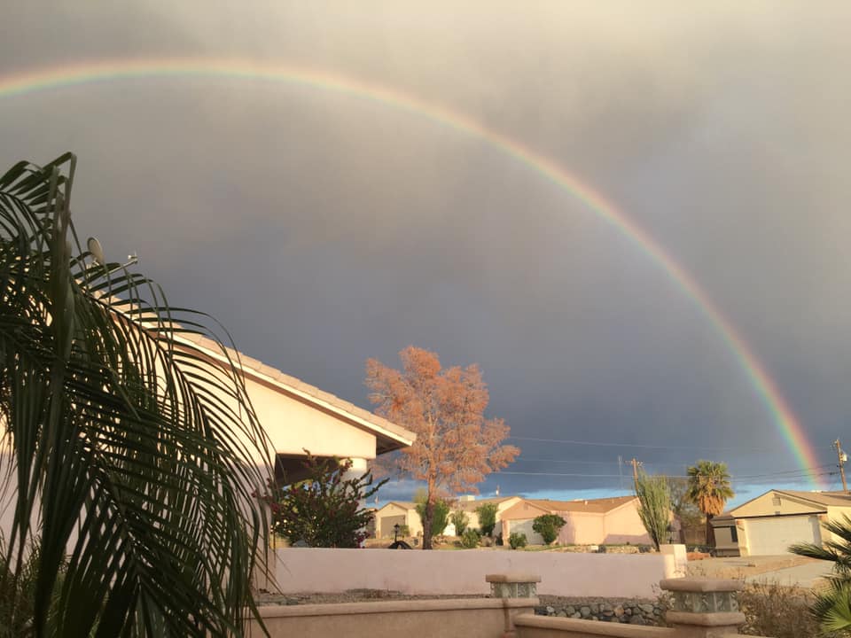
Much of the area receives 40-50 percent of its annual precipitation during monsoon season. This rainfall is especially important to help replenish reservoirs in the area, along with local farming in the areas.
Rainfall during these months is not continuous, but comes most days in the form of afternoon and evening thunderstorms.
It is incorrect to call one single thunderstorm a “monsoon”, instead it is a large-scale weather pattern that causes these thunderstorms.
The term “monsoon” describes large-scale wind shifts that transport moist tropical air to dry desert locations, such as the southwestern United States. A monsoon pattern also affects several other locations around the world including Southeast Asia, Australia, Africa, and South America. The Indian Monsoon is the strongest in the world due to the height of the Tibetan Plateau.

The shifts occur because of intense heating of the land over Mexico and the southwestern United States in the early summer months that creates the wind shifts in the low levels. Moisture begins to be carried off the Gulf of California and eastern Pacific Ocean (the two main sources for monsoonal moisture in northern Arizona).
These winds transport moisture northward into Mexico and the American Southwest.
Additionally, another key component of the monsoon development is in the upper levels of the atmosphere. A strong subtropical ridge of high pressure is located over Mexico during June which acts to block moisture flow toward the north.
This is why northern Arizona normally sees some of the hottest and driest weather of the year during June. Heading into late June and early July, the ridge of high pressure shifts northward into the Southern Plains or Southern Rockies. The shifting ridge axis allows low and mid-level moisture to move northward.
The combination of the low, mid and upper level moisture surge to the north culminates in the real beginning of annual monsoon season. The combination of these atmospheric events are signs that forecasters watch for closely on long range model guidance leading up to the monsoon season.
Throughout this week, the Las Vegas National Weather Service will be giving more info about Monsoon storms in our Tri-State area. You may view these tips by click on their Facebook Page. https://www.facebook.com/NWSVegas/


Leave a Comment
Keep it helpful, local, and respectful.