Exploring Lake Havasu


By Becky Maxedon
After the California gold fields began to peter out in the 1860s, prospectors picked up their tools of the trade and moved inland to what they thought was more fertile mining ground.
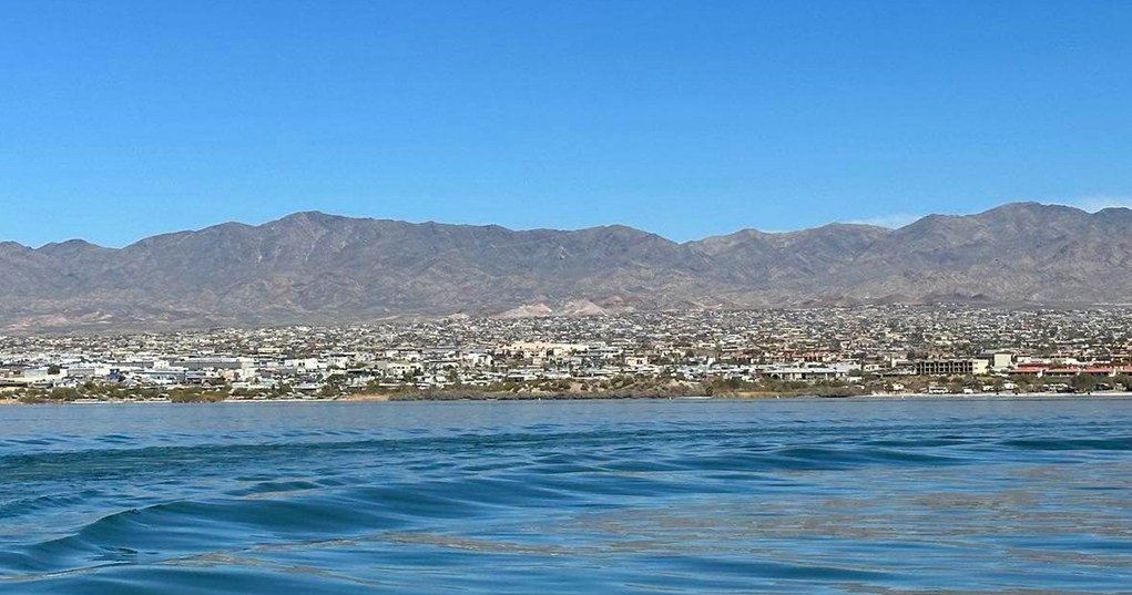
The Mohave Mountains, east of Lake Havasu City was one of the destinations for the prospectors as well as soldiers from Ft. Mohave. They were mostly placer miners and were looking for gold.
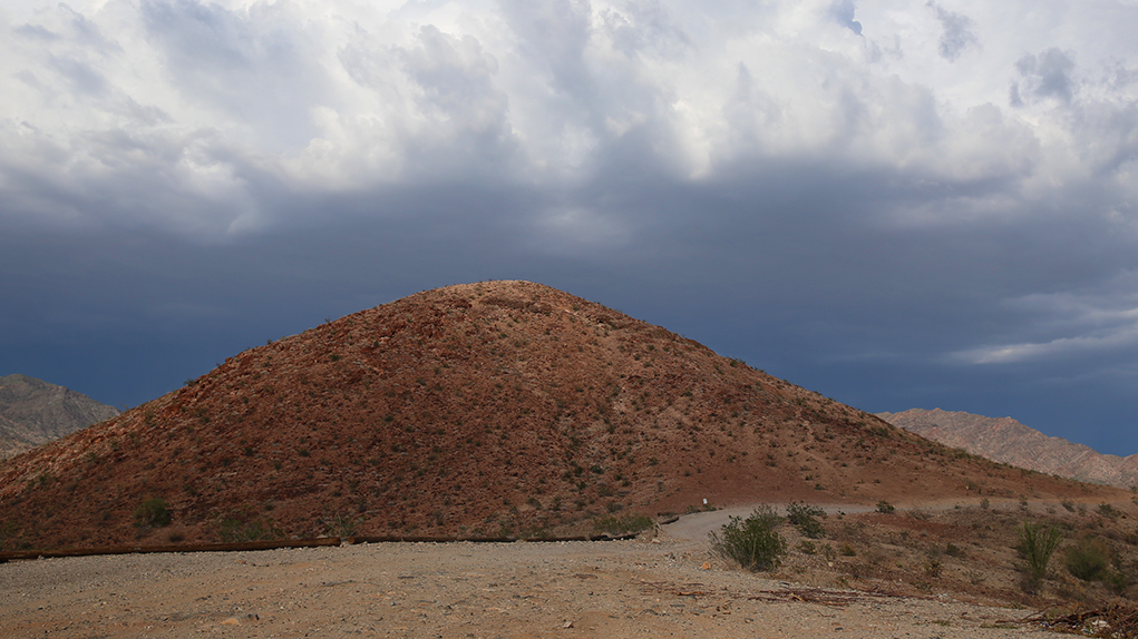
The highpoint of the Mohave Mountains is Crossman Peak at an elevation of 5,103 feet.
Crossman Peak is named for A. G. Crossman, a placer miner who was referred to in 1900 as the “Gold King of the Chemehuevi.”
There isn’t much information about Crossman or what became of him.
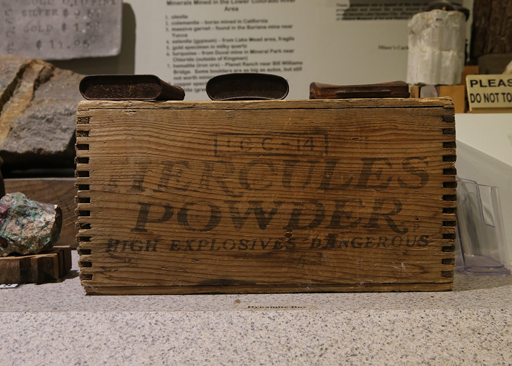
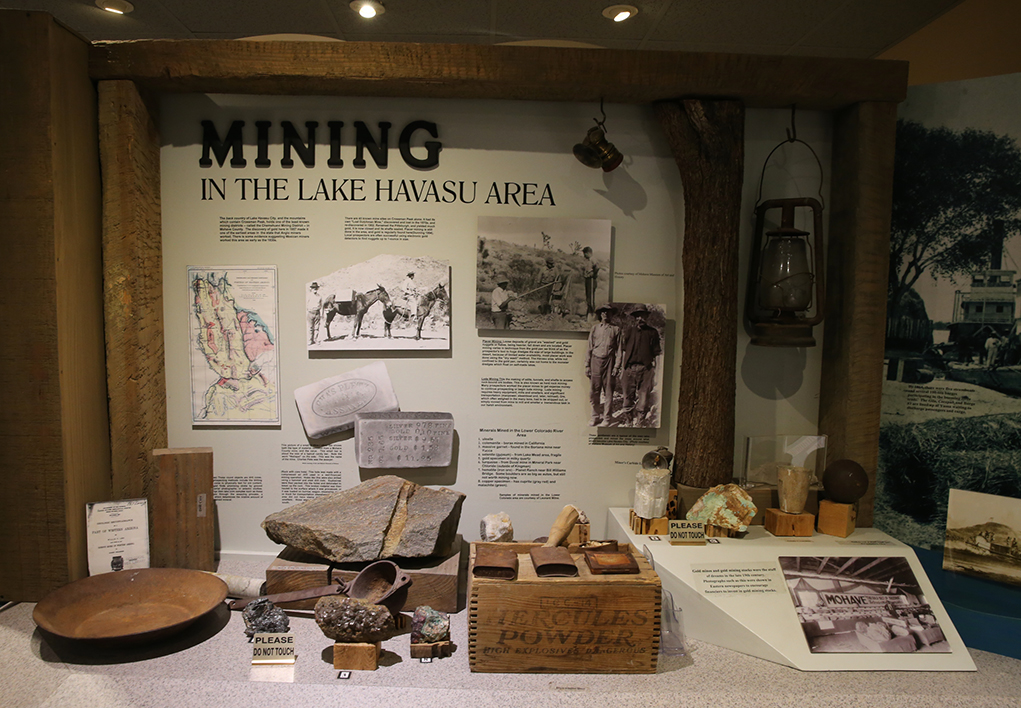
The principal mineral commodities mined or prospected in the Crossman Peak area have been gold, silver and tungsten. The first claims date back to the early 1860s and were filed under locally established mining districts, before the enactment of the 1872 mining law.
These early claims were mostly gold placer claims in the dry washes along the north and west sides of the Mohave Mountains.
Placer activity reached its peak during the depression years of 1929-1933 and has been rejuvenated during times of economic recession or when gold prices were high.
The Dutch Flat Mines, (originally the Kampff Mines) were developed in 1870 on the southeastern side of the mountains and were the first lode claims developed in the area.
The area is managed by the Bureau of Land Management. There are mining leases available by contacting the BLM directly.
Most area residents and visitors don’t think much about the history of Crossman Peak, but as a moderate 14.4-mile hike in and out.
The following directions and hiking information can also be found at golakehavasu.com.
The Sunrise Mine is the major mining complex you will encounter on the trail. It was one of the first gold mining operations to work lode deposits in the Mohave Mountains. The first shaft was driven in 1894. It remained in active production until the late 1950s. (This mine is extremely hazardous. DO NOT venture inside.)
The Crossman Peak Trail offers the highest point of elevation in the Lake Havasu area, 5,103 feet above sea level. Take in views over the Colorado River valley, the Hualapai Mountains to the east and Aquarius Mountains to the north.
Directions to trailhead:
Option Two
Trail Rout Instructions
A few websites to check out for more information about Crossman Peak go to www.summitpost.org, raregoldnuggets.com, and alltrails.com.

Leave a Comment
Keep it helpful, local, and respectful.