


Submitted story and photos by Larry Reese:
Water Tank Hike
3 Miles Each Way
Easy Hike
This hike has been called the Water Tank Hike, Horse Hoof Point and Aubrey Hills Hike. Both the Water Tank and the rock that looks like a horse’s hoof are at the end of the trail and when you are walking down through the valley and the hills on either side are called Aubrey Hills.
The trailhead is at the entrance to the electrical power substation about 2 miles south of Lake Havasu on State Route 95. There will be a bright orange gate off to the right and that is where to park.
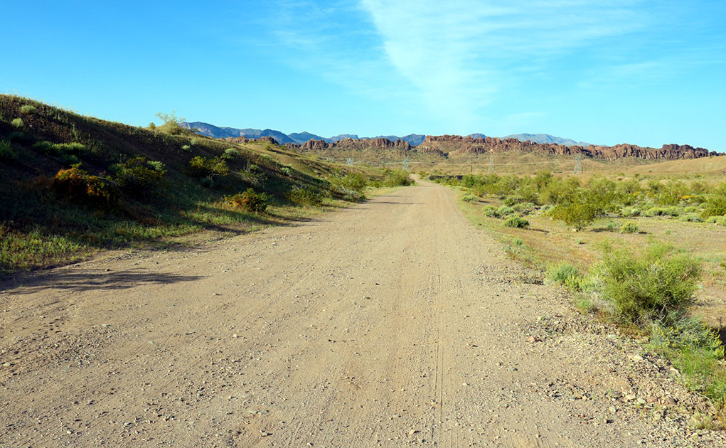
Photo 1
The trail/road once you get inside the gate it is 6 tenths of a mile to the substation. As you near the substation stay to the right of it and you will walk right into a path going down into the wash. Follow the footprints to the left and then curve to your right after a few hundred yards and look for a trail leading out of the wash.
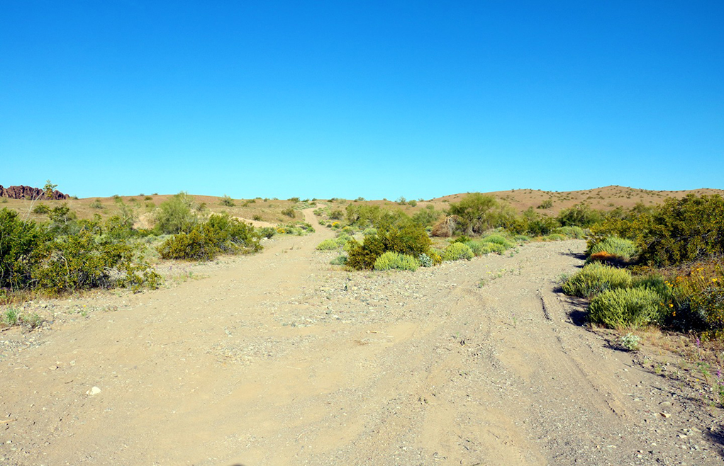
Photo 2
Once out of the wash follow the trail to the right after about 3 tenths of a mile up the hill. The well-defined trail with make a sharp turn to the left. After turning left, follow that trail all the way out to the water tank.

Photo 3
Just under 2 miles from the trail head there is a private drive sign. The public trail continues straight and from here on, the trail is not as well defined. Yes, there is a private drive and a house is being built in this area. After some research, there is private property in this area. And there is quite a bit of private land between Lake Havasu City and the Bill Williams Bridge.
As the hike continues, the trail fades in and out however, pay attention and look ahead the hiker would easily be able to follow the correct trail in and out of washes and over some very small hills. About 2.7 miles into the hike, the hiker will run into another trail, Watershed Loop. Walk on that trail for a little bit.
Note: Watershed Loop is a 12+mile trail for those that like to ride their mountain bikes in the desert. While bikers and hikers do share these trails, they are best suited for those on a bike.
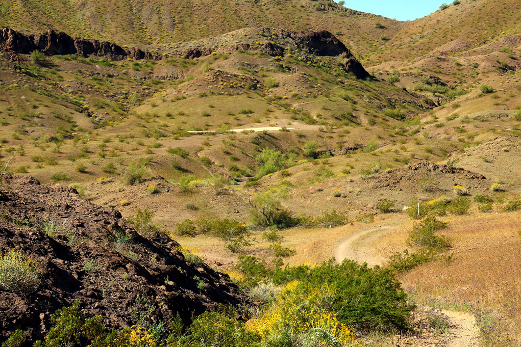
Photo 4
Walking over a hill, the hiker will see the big sheet of metal that collects the water for the water tank.
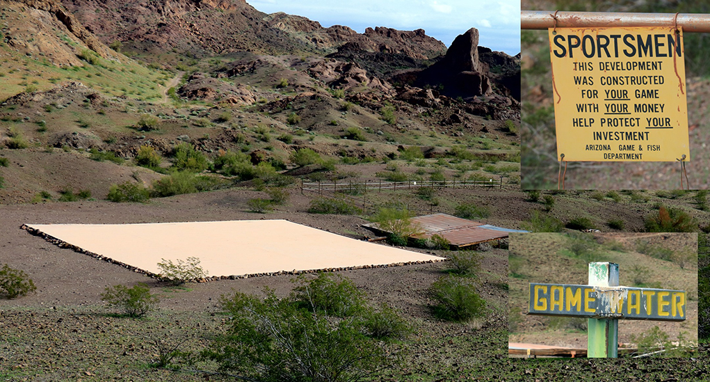
Photo 5
The water tank at the end of the trail.

Photo’s 6, 7, and 8
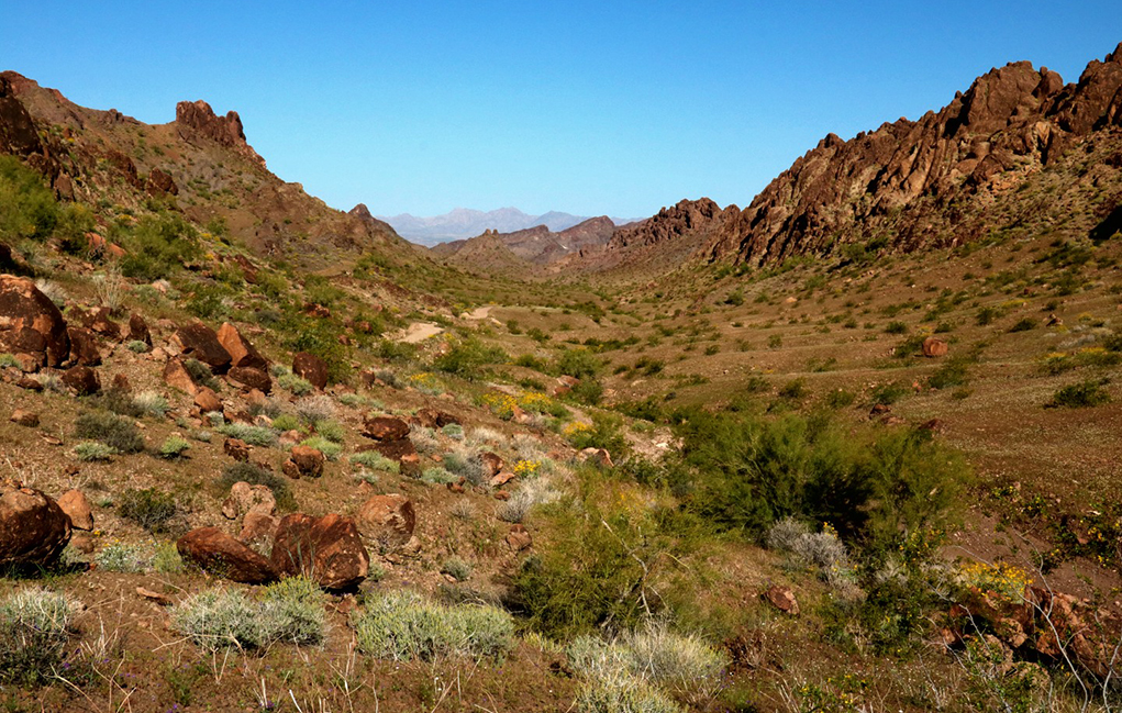
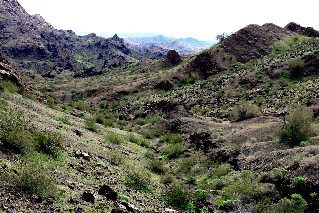
Views you will see as you hike this trail. (Some of photos are from different times of the year so the scenery/color of the desert changes.)


Leave a Comment
Keep it helpful, local, and respectful.