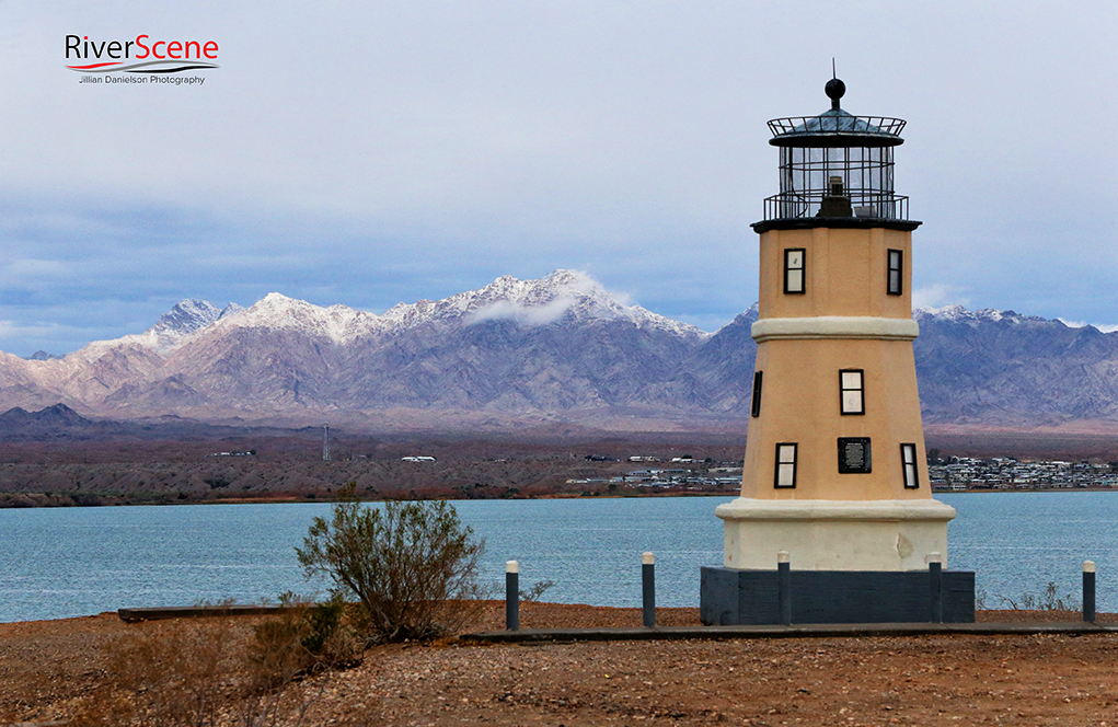
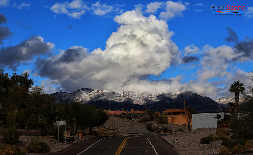
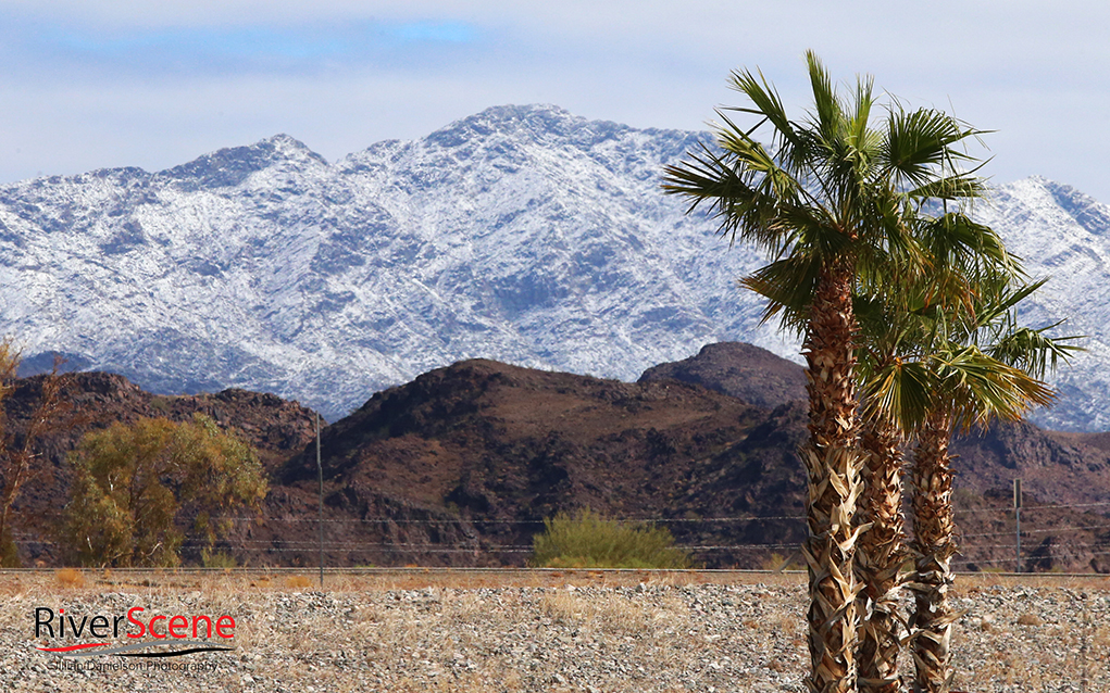
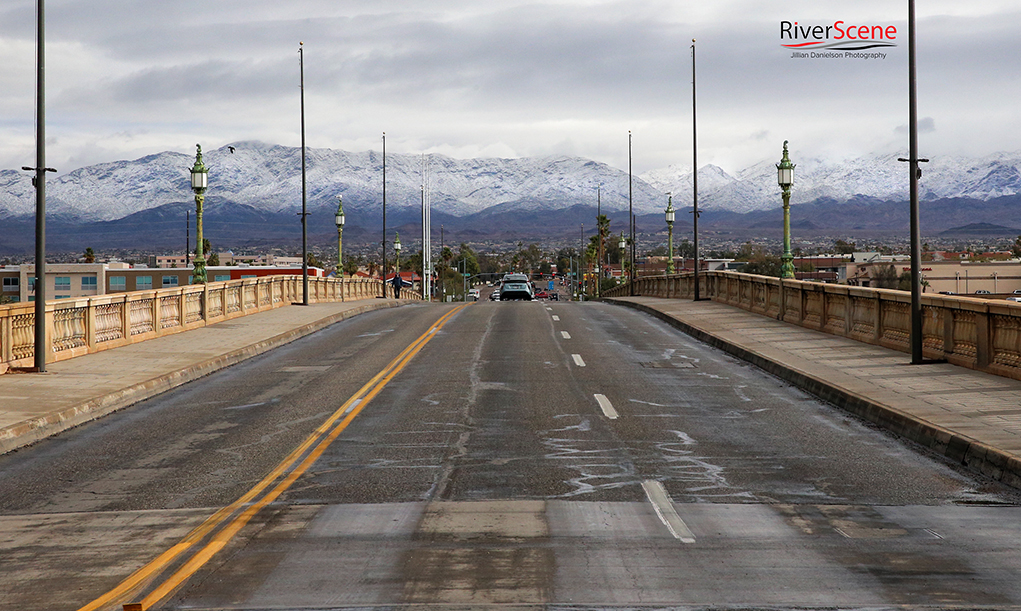
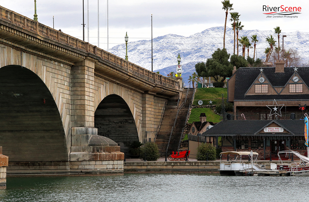
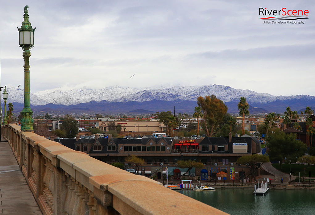
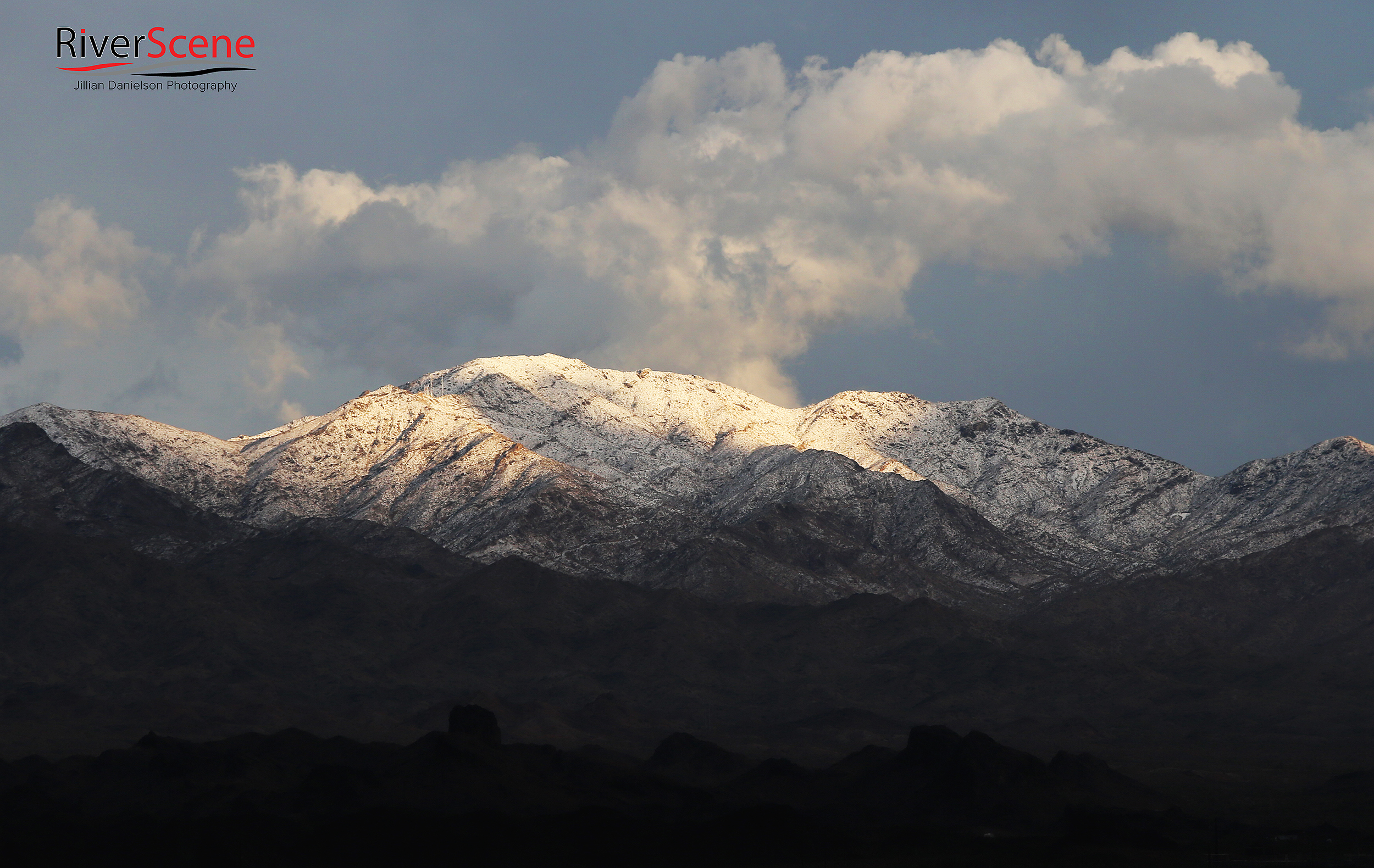
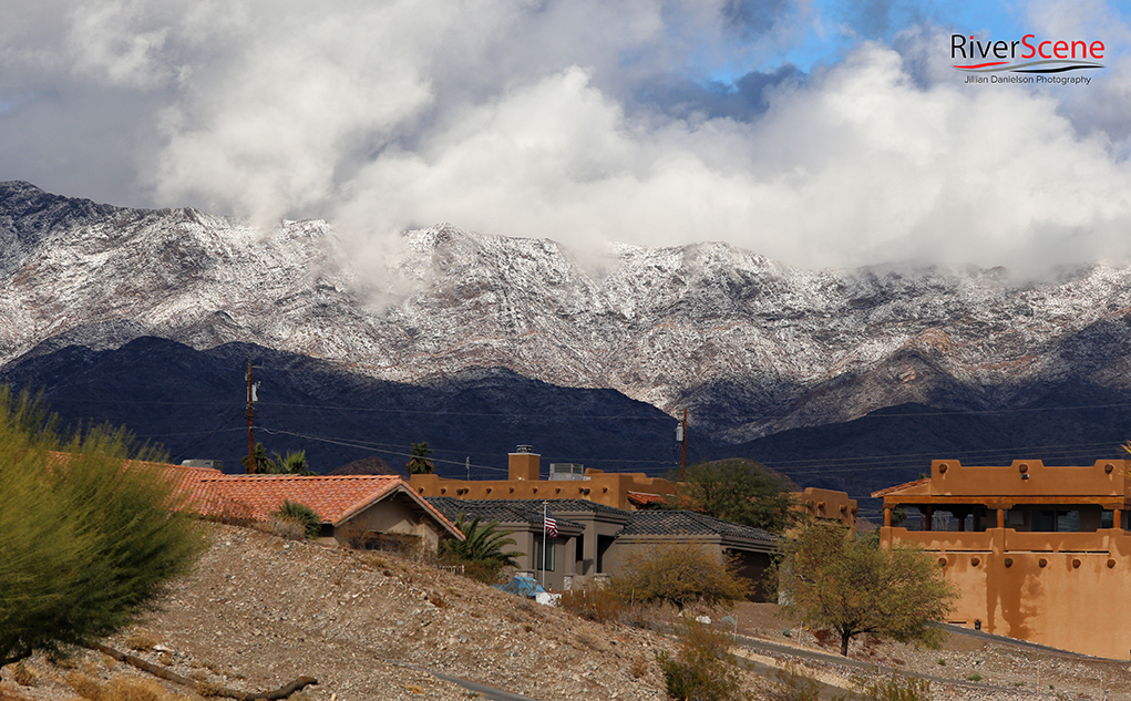
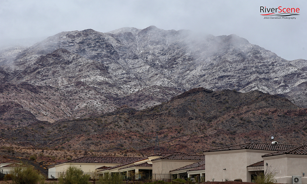
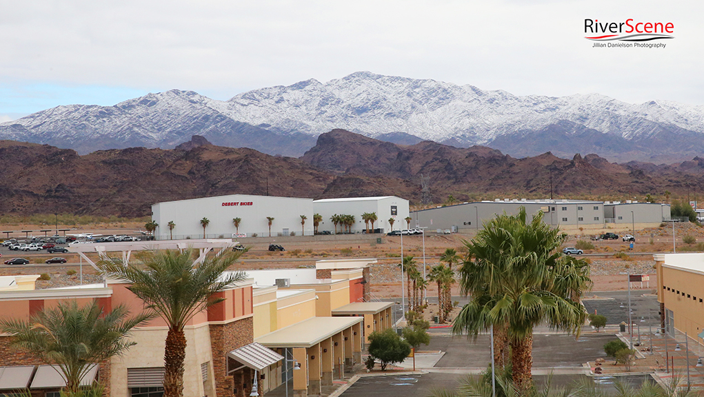
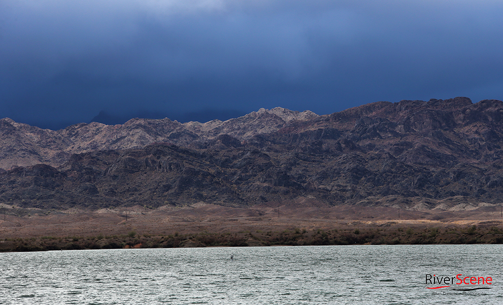
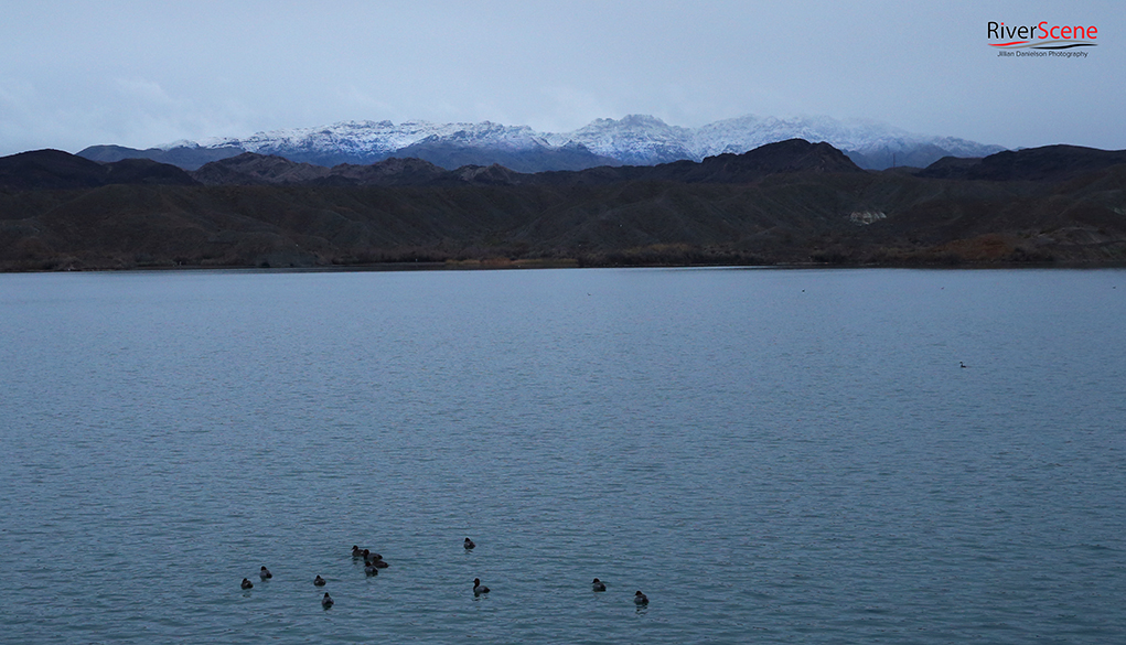
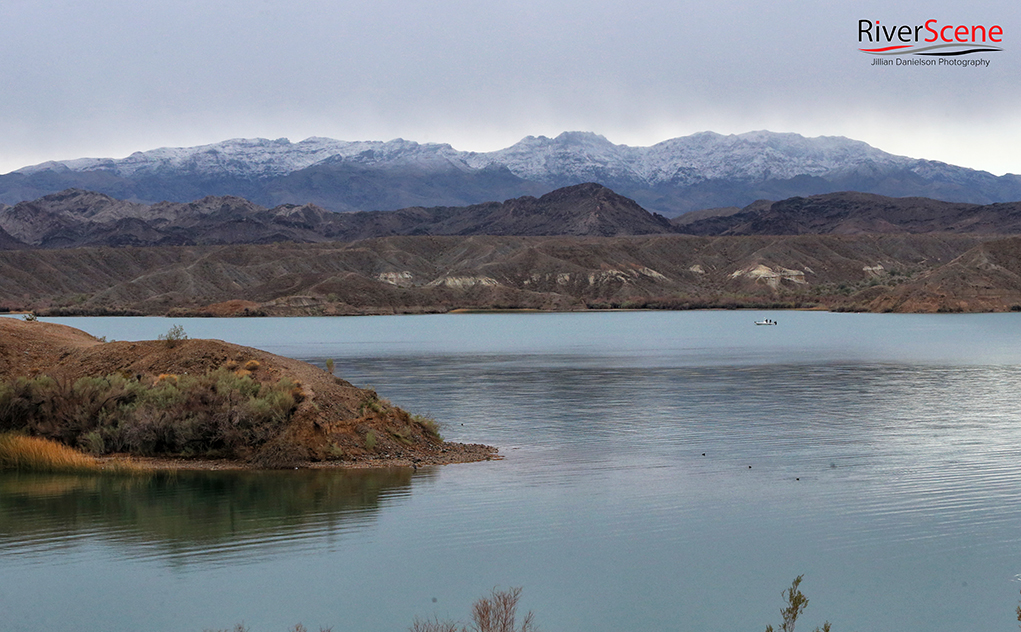
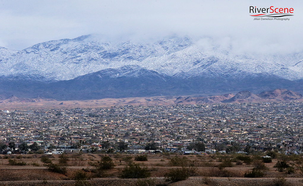
Lake Havasu City residents woke up to a winter wonderland cloaking Crossman’s Peak Tuesday morning after a winter storm system moved through the Tri-state area.
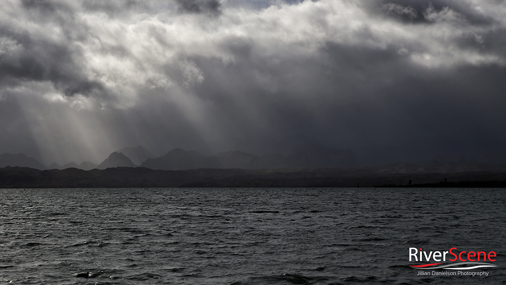
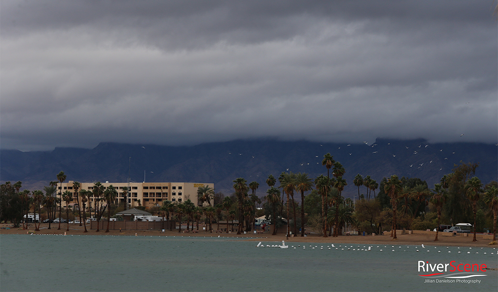
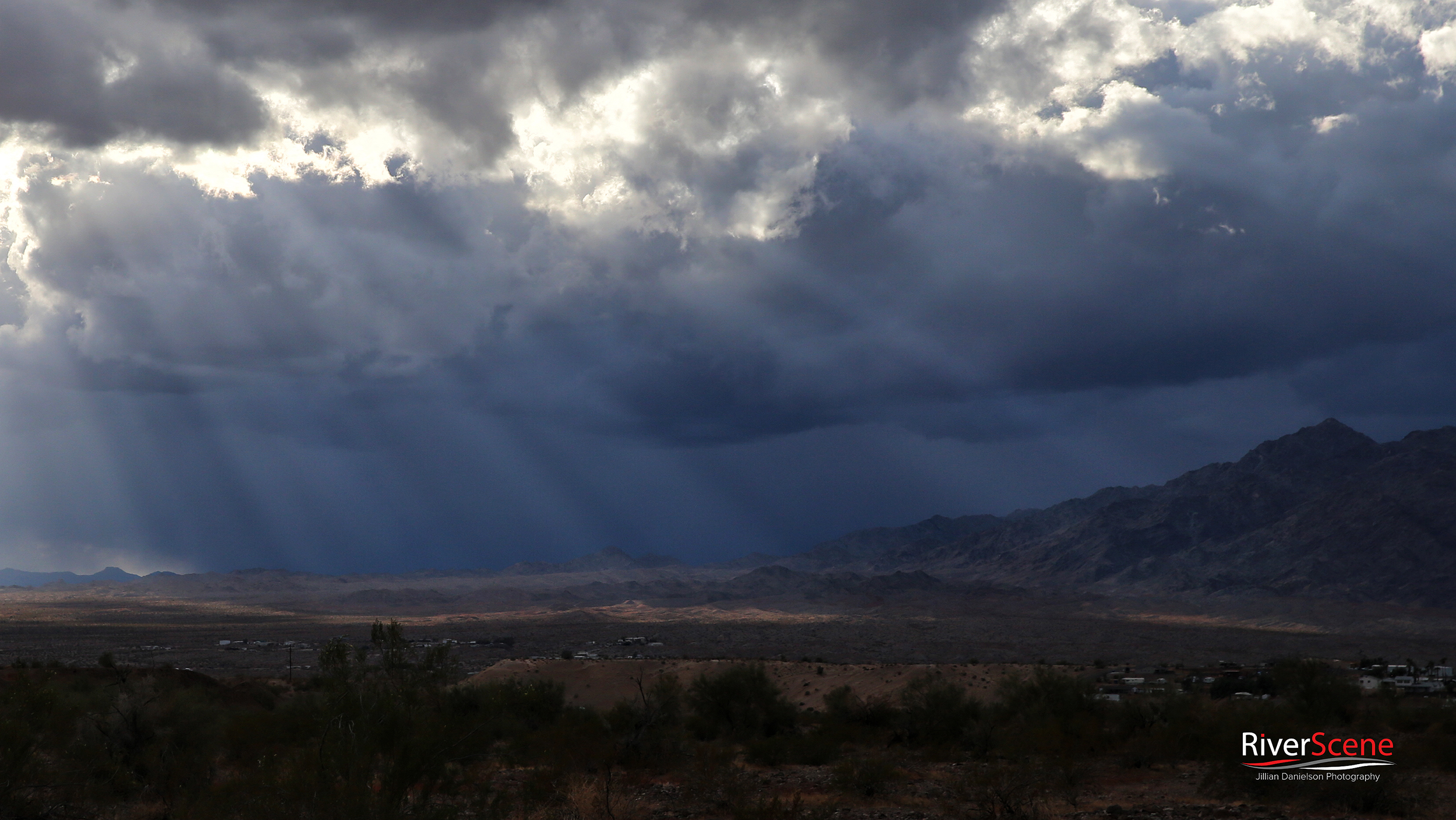
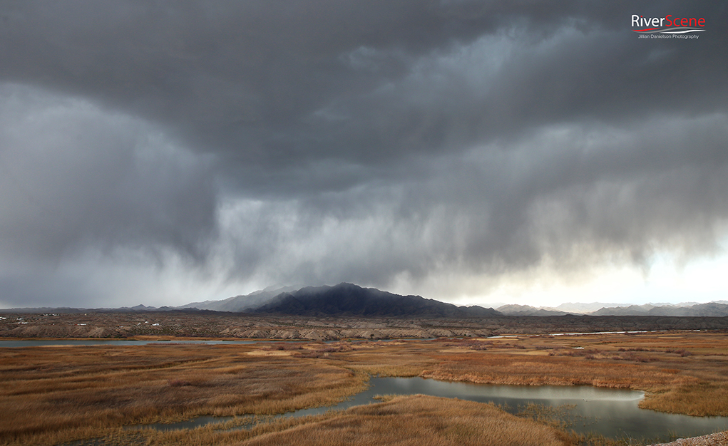
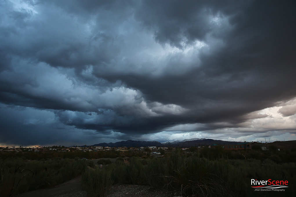
“A big trough of low pressure moved in from the northwest Monday,” said Warning Coordination Meteorologist Dan Berc, of the Las Vegas National Weather Service. “The low closed off over southern Nevada and brought several rounds of precipitation to the area before moving off to the east Tuesday.”
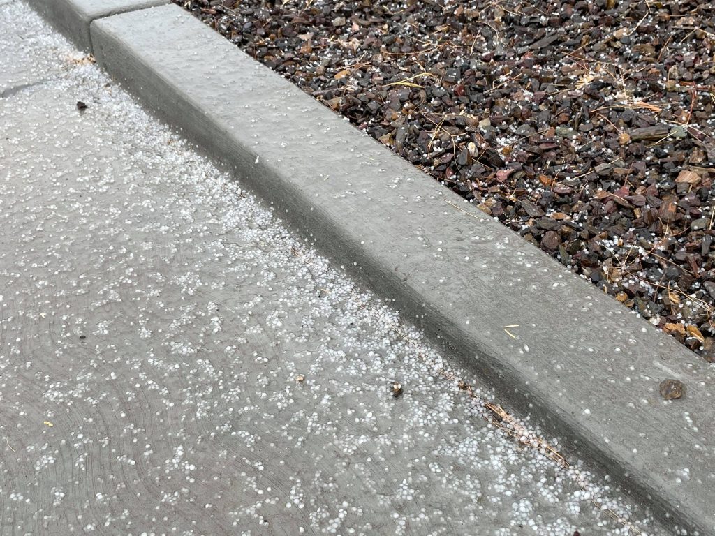
The system brought 1/2 inch to 1/4 inch of rain and small hail or snow pellets, also known as graupel, to Lake Havasu City. A few inches of snow covered Crossman’s Peak, in Arizona, as well as the Whipple Mountains on the California side of Lake Havasu and the Colorado River.
Beginning Thursday night, another system is forecast to move through the area and is expected to drop another half inch of rain throughout the day Friday before moving out by Friday evening.
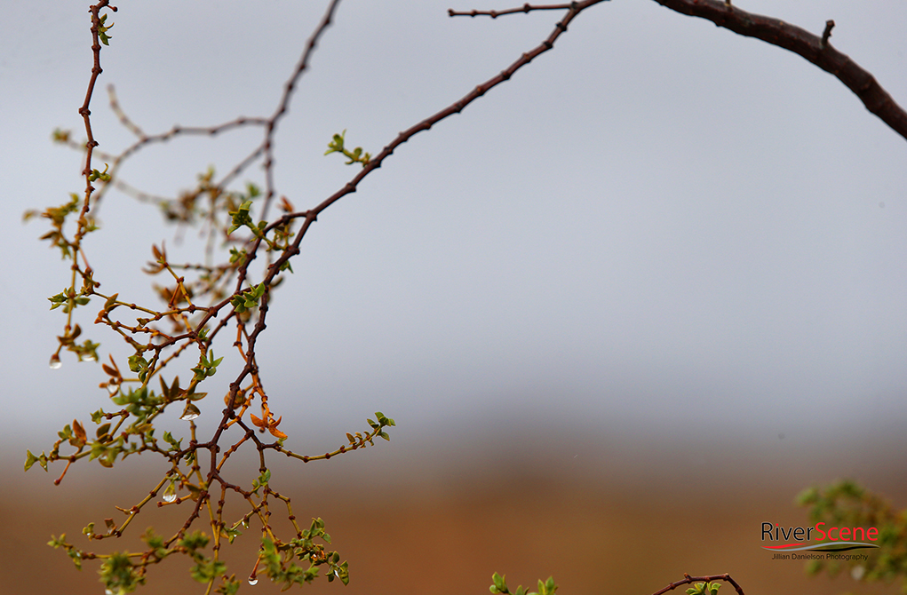
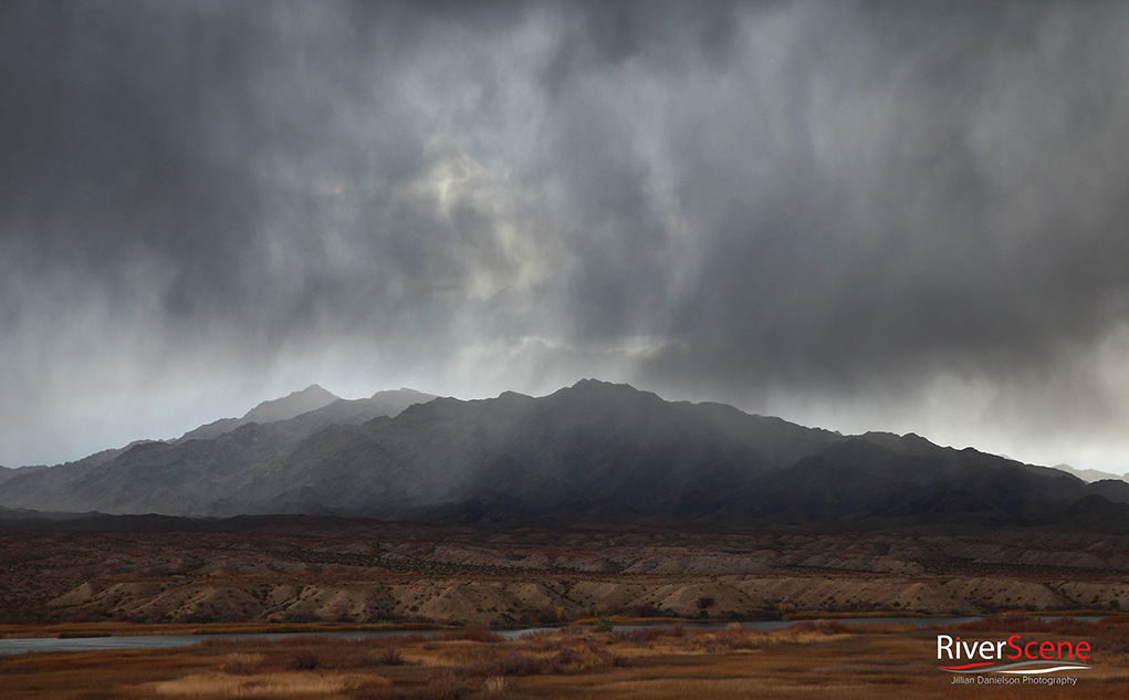
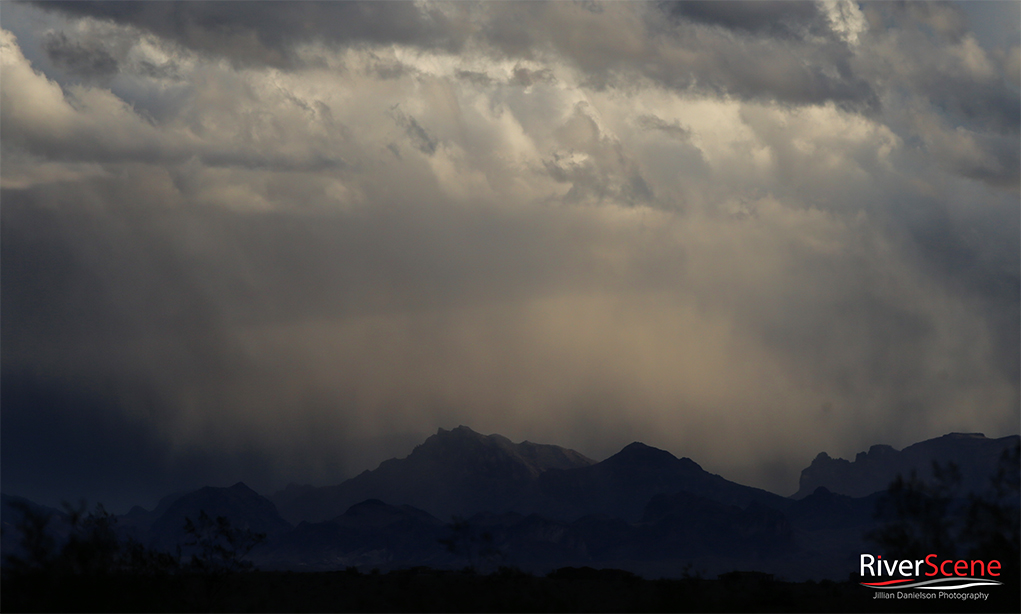
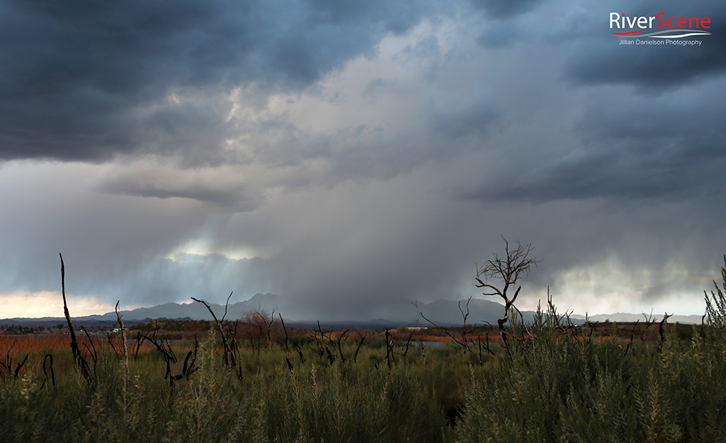
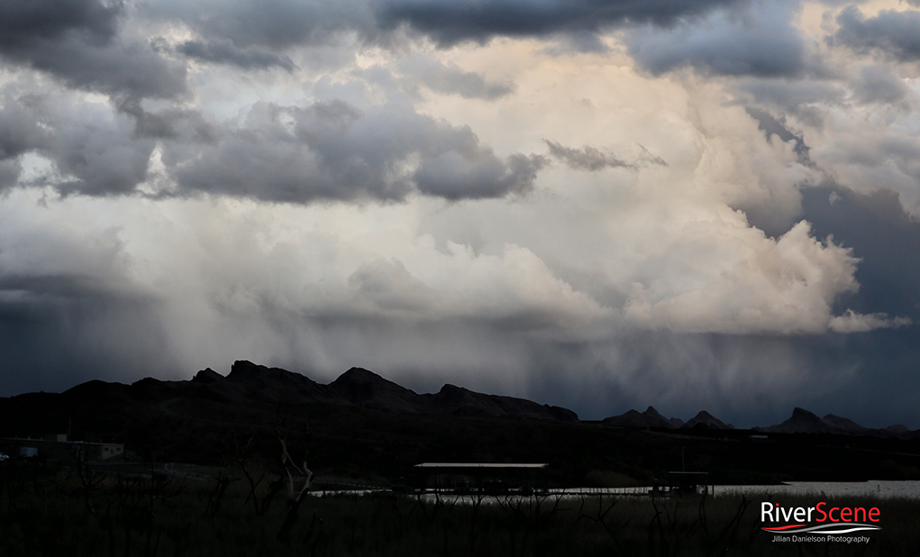
The weather pattern was a long-awaited one here in Havasu, and we’ve certainly enjoyed the change of pace. Here is our photo gallery from Monday and Tuesday.
We would like to see your Havasu snow and storm photos from this system, too! Please share below our gallery in the comments.







Fantastic photos as alway Jillian!
I saw you on the ridge yesterday taking photos! Great job!
Just beautiful! thanks for the photos.
Great pictures.
Awesomely beautiful pictures. Thanks.