


It is very rare for the Las Vegas National Weather Service to issue a tornado warning near Lake Havasu City, however Wednesday afternoon, that is exactly what happened when storms rolled through the Tri-State area.
According to the Las Vegas National Weather Service, a tornado warning was issued for the area of Havasu Heights and extended up through Topock/Golden Shores at 5:15 p.m. RiverScene photographer Jillian Danielson was in the area to capture photos of the wall cloud as it moved along I-40 toward the Pilot Station and Havasu Heights. Heavy hail fell on Interstate 40, covering the highway and making it difficult for drivers.
During that time, a report of a small funnel was made between 4:30 p.m. and 6 p.m. It is unclear if it actually touched the ground because in the photo that was sent in, the funnel extends on the other side of a hill. A funnel cloud is a tight column of air that never reaches the ground. Storms can produce funnel clouds and never produce a tornado.
Up to 1 3/4 inches fell on the northeast side of Laughlin and because of nearby running washes, some flooding occurred in the area. .03 – .04 inches fell in Lake Havasu near the airport.
Storms also hit Lake Havasu City early Wednesday evening and hail was reported in various areas around town. A wall cloud was also reported over the Mohave Mountains east of Havasu, but no tornados or funnels were reported. There was no tornado warning issued for Lake Havasu City or Desert Hills.
Las Vegas National Weather Service confirmed wind gusts 30-40 mph in Lake Havasu.
Thursday morning brought heavy fog to the southern edge of Lake Havasu City.
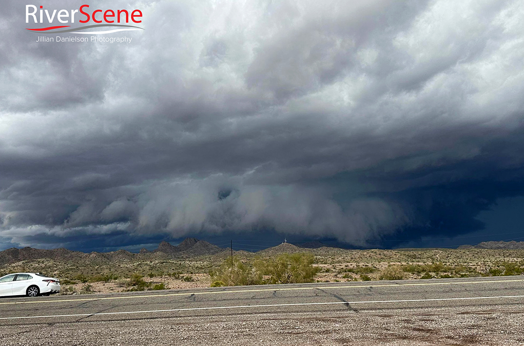
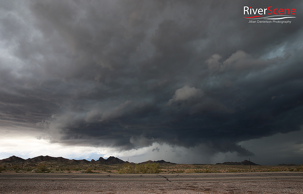
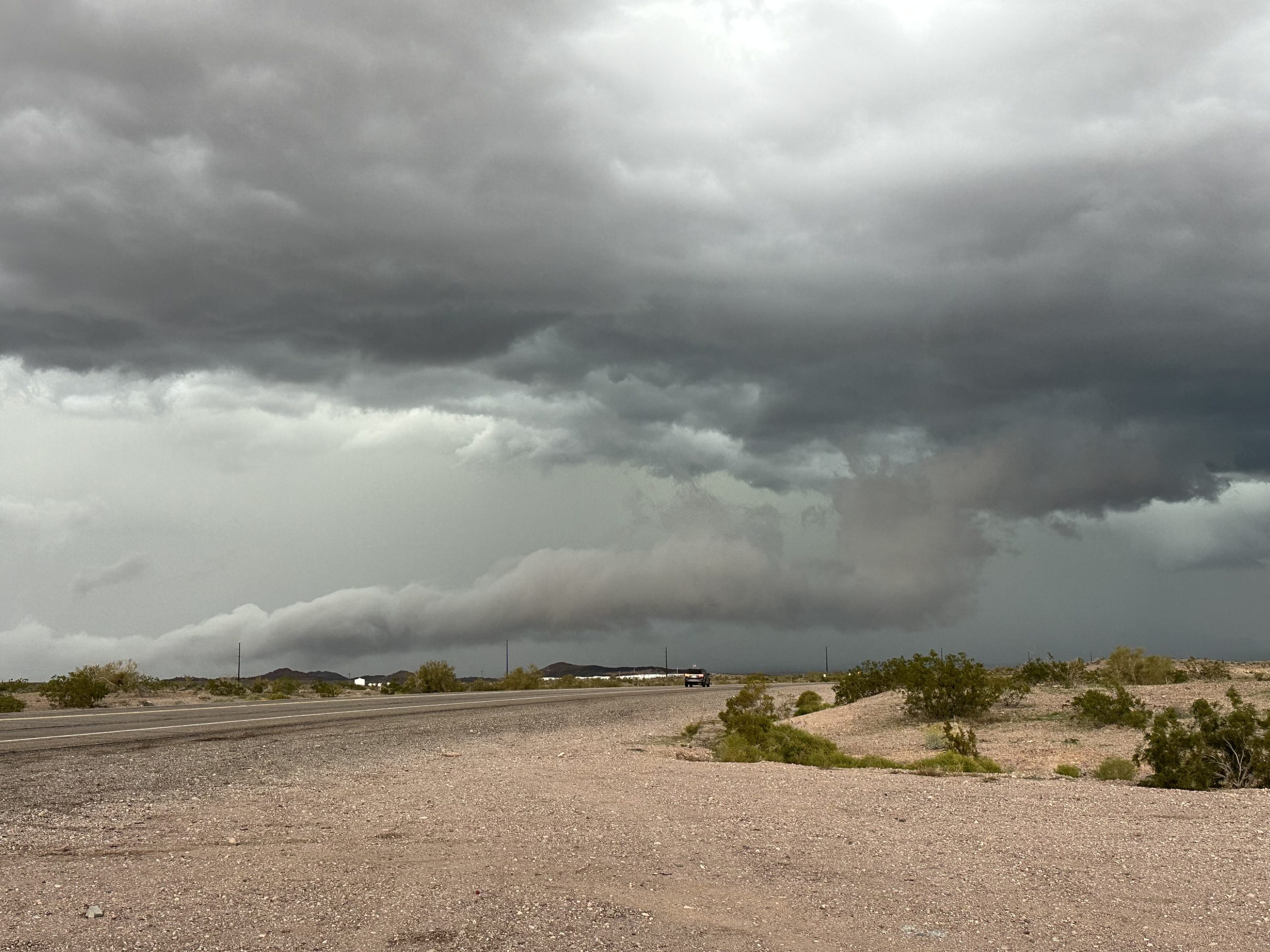
A shelf cloud moves over Highway 95 near Havasu Heights Wednesday evening as hail covered I-40. Jillian Danielson/RiverScene
A shelf cloud moves over Highway 95 near Havasu Heights Wednesday evening as hail covers I-40. Jillian Danielson/RiverScene
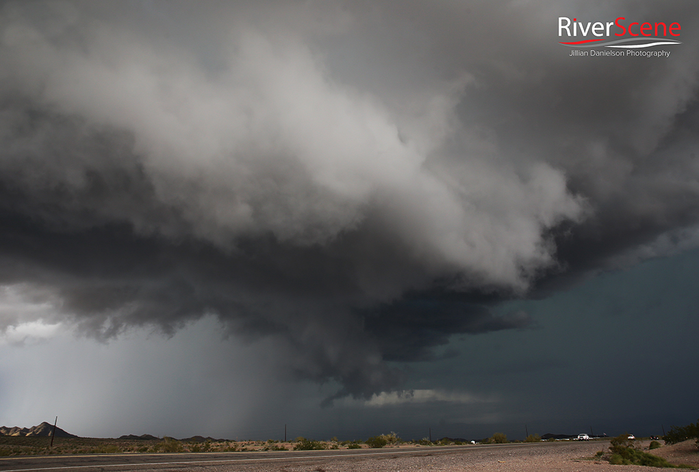
A shelf cloud moves over Highway 95 near Havasu Heights Wednesday evening. Jillian Danielson/RiverScene
A shelf cloud moves over Highway 95 near Havasu Heights Wednesday evening. Jillian Danielson/RiverScene
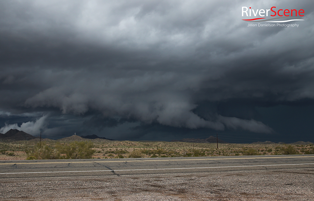
A shelf cloud moves over Highway 95 near Havasu Heights Wednesday evening. Jillian Danielson/RiverScene
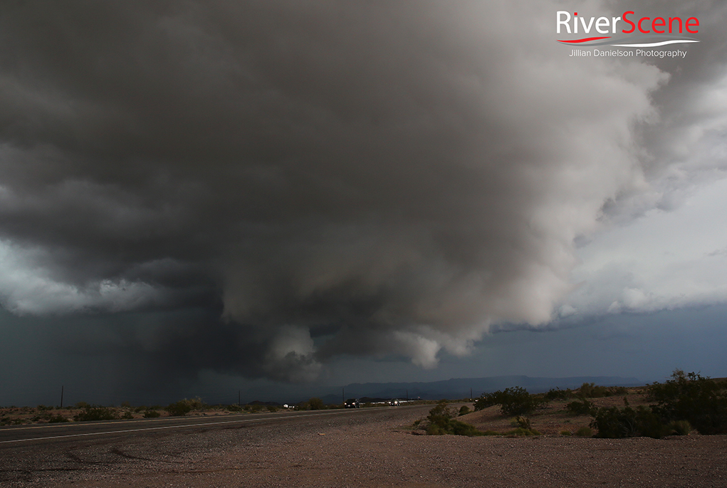
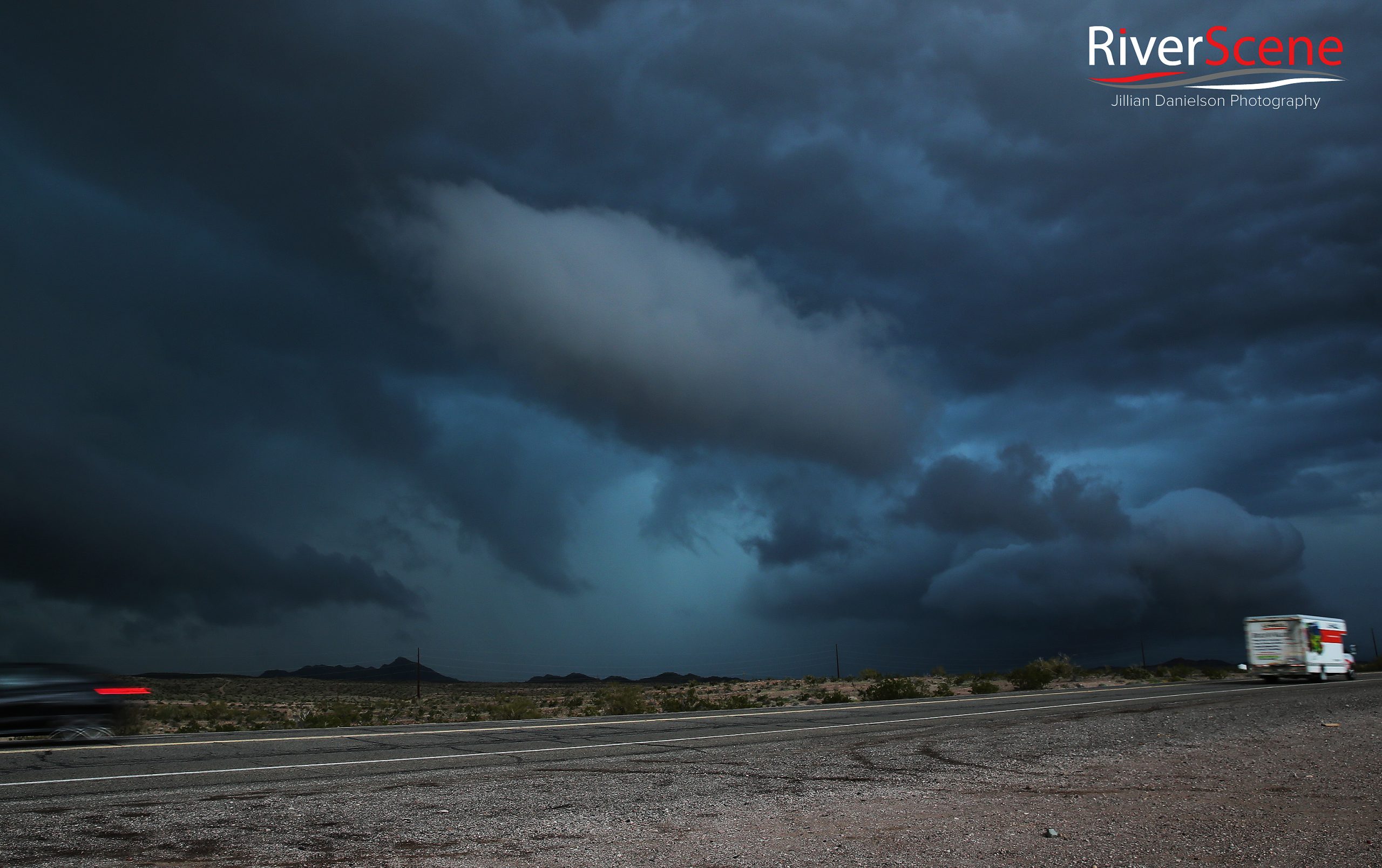
A tornado warned storm moves over Highway 95 Wednesday evening. Jillian Danielson/RiverScene
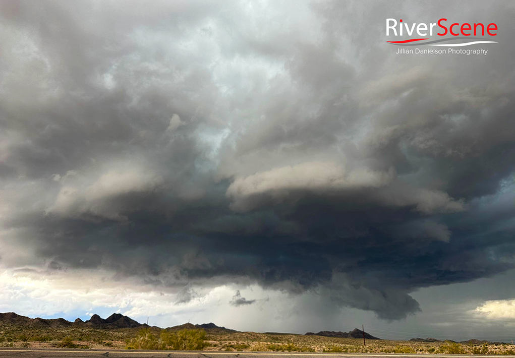
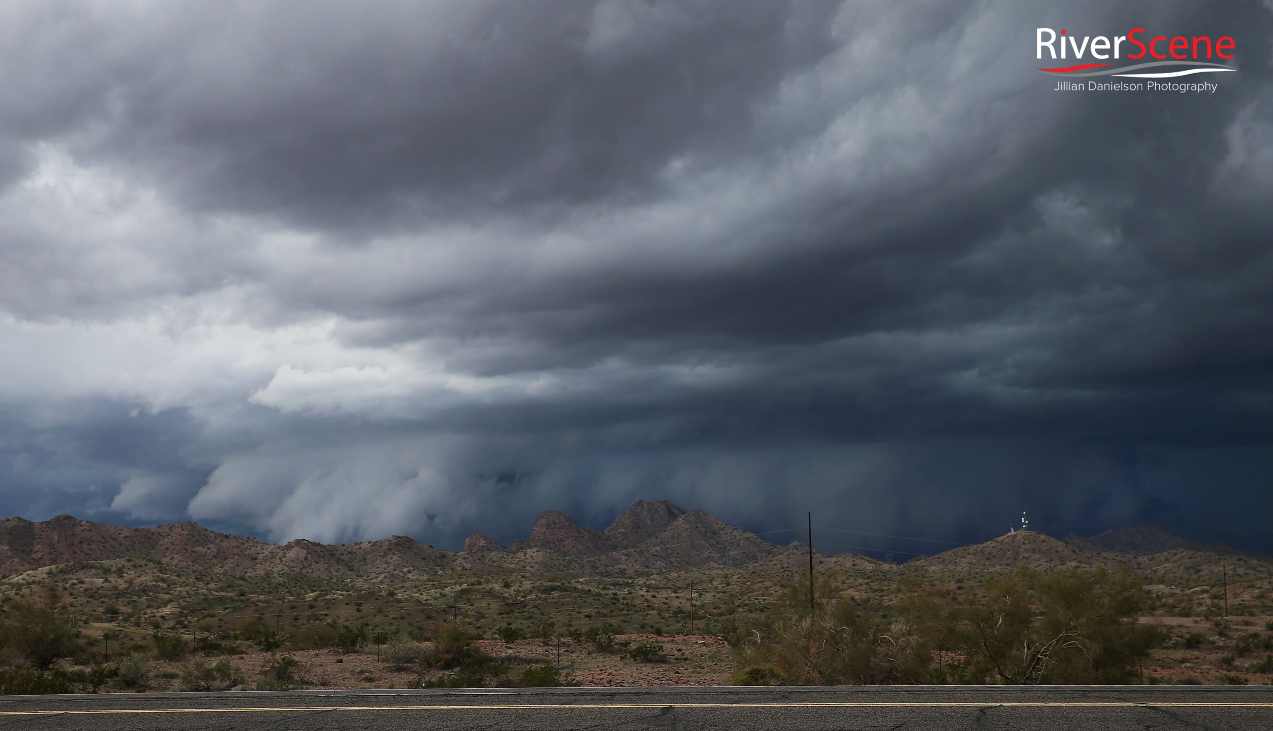
Jillian Danielson/RiverScene
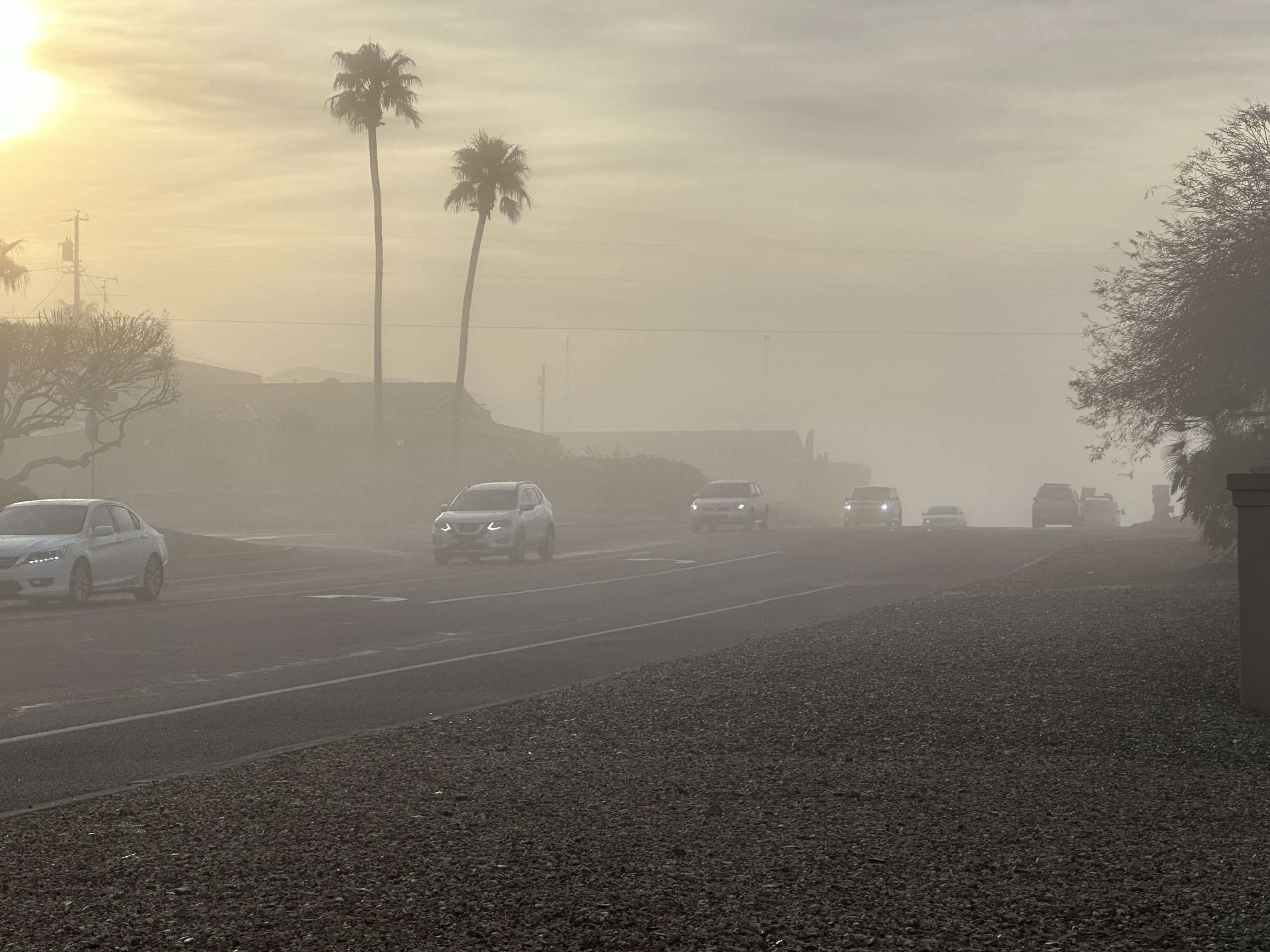
Cars drive through fog Thursday morning. Jillian Danielson/RiverScene
Jillian Danielson/RiverScene
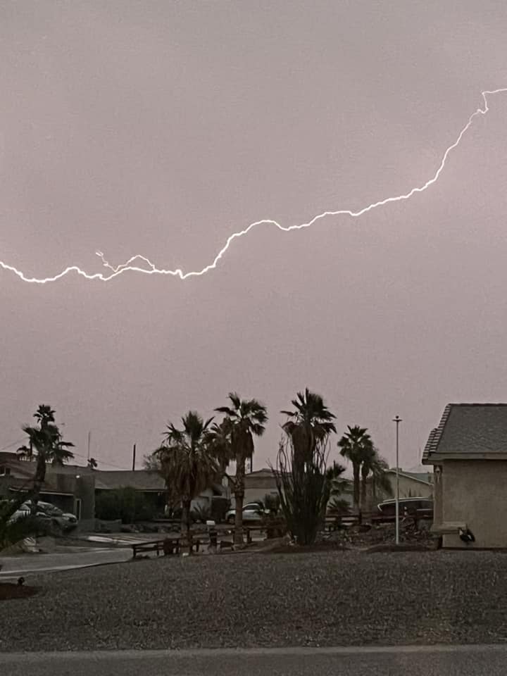
Photo courtesy Dawn McKay
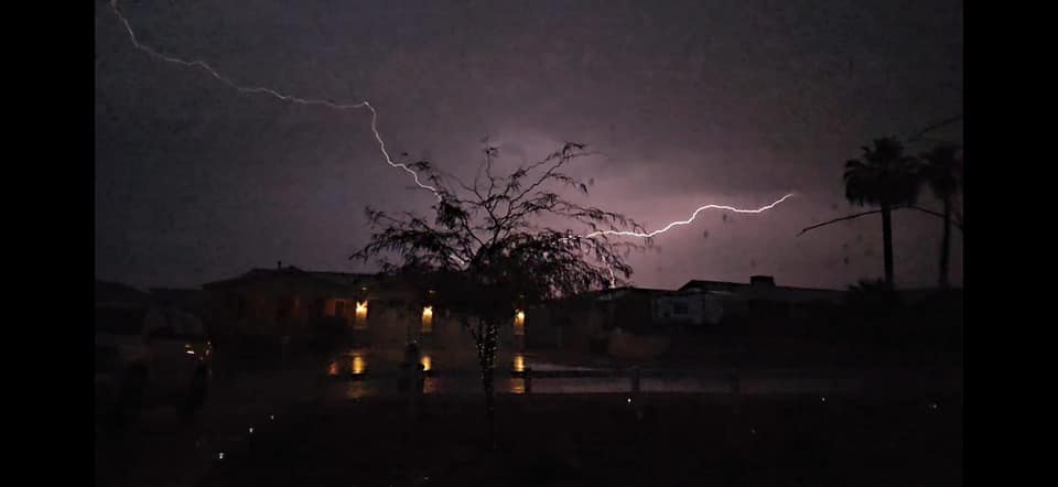
Photo courtesy Jamie Silvia
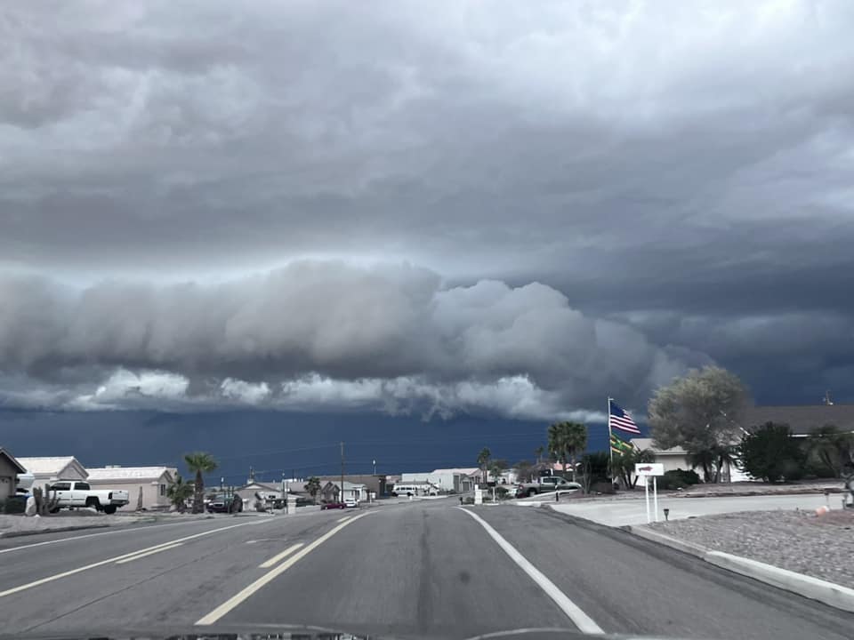
Photo courtesy Jamie Silvia
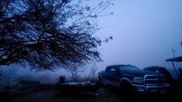
Photo courtesy Mindy Montoya
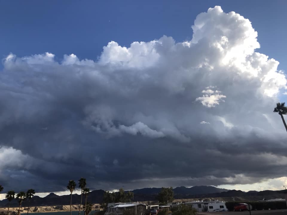
Photo courtesy Dora Ray Kay
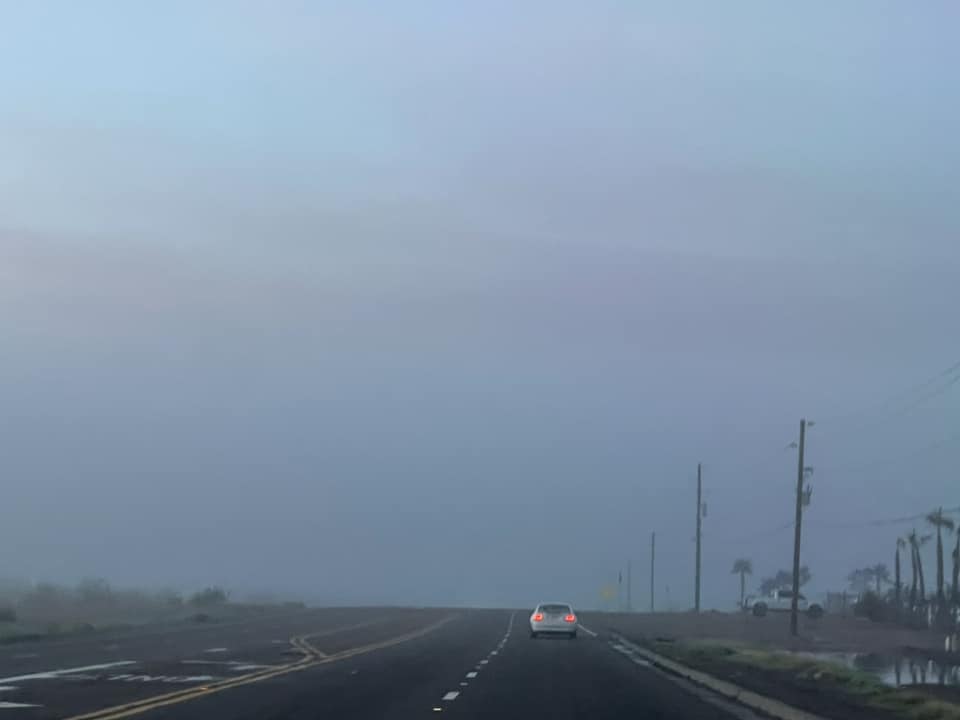
Photo courtesy Jessica Brown


You captured some awesome cloud formations
Great photography, scary I grew up in ND this took me back, minus the palm trees of course.